Speakers Cabin Porcupine Mountains

If you want a minimal effort, maximum backwoods fun trip Speaker’s Cabin has you covered.

It’s just under a mile walk to your own private cabin on Lake Superior. You can’t really go wrong with any cabin in the Porkies, but Speakers Cabin, IMO, has the best view, the easiest walk-in, and privacy.

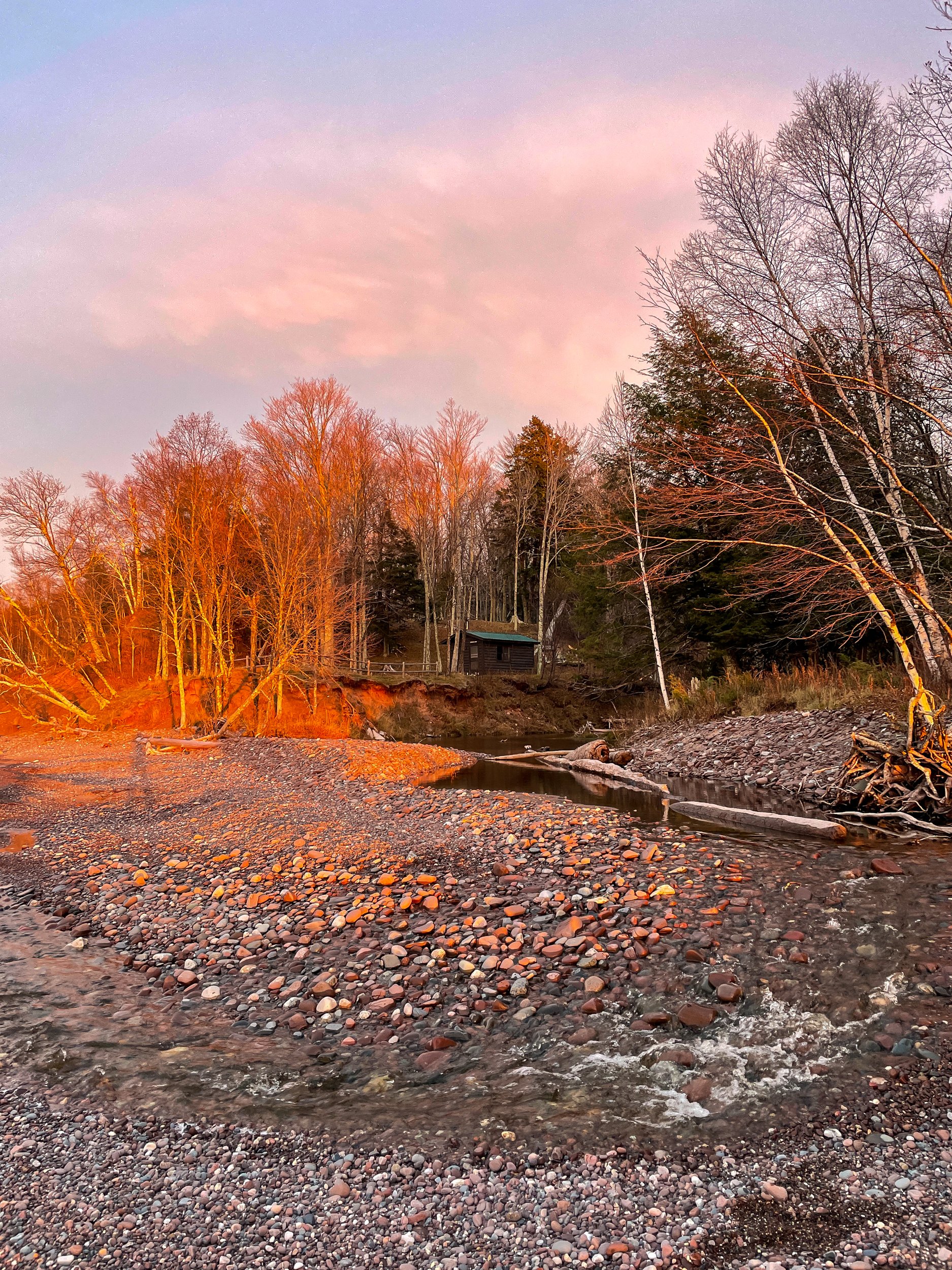
The last time I was here was 6 years ago. For the most part, it’s the same setup. There was a flood of Speaker’s Creek in 2016 which caused erosion along the creek edge. After this, the cabin was moved back 20 feet from the creek to avoid future floods. The great news, the zombie flies I mentioned before have abated significantly. 

This weekend we are here with 2 other friends putting us at the 4 person limit. Speakers is a nice size for 4. Space to cook, a woodstove for heat, a big table, and 4 bunks. Wood for the fire is gathered from around the cabin. Thankfully the last group left us a decent amount of dry wood and we returned the favor for the next group.

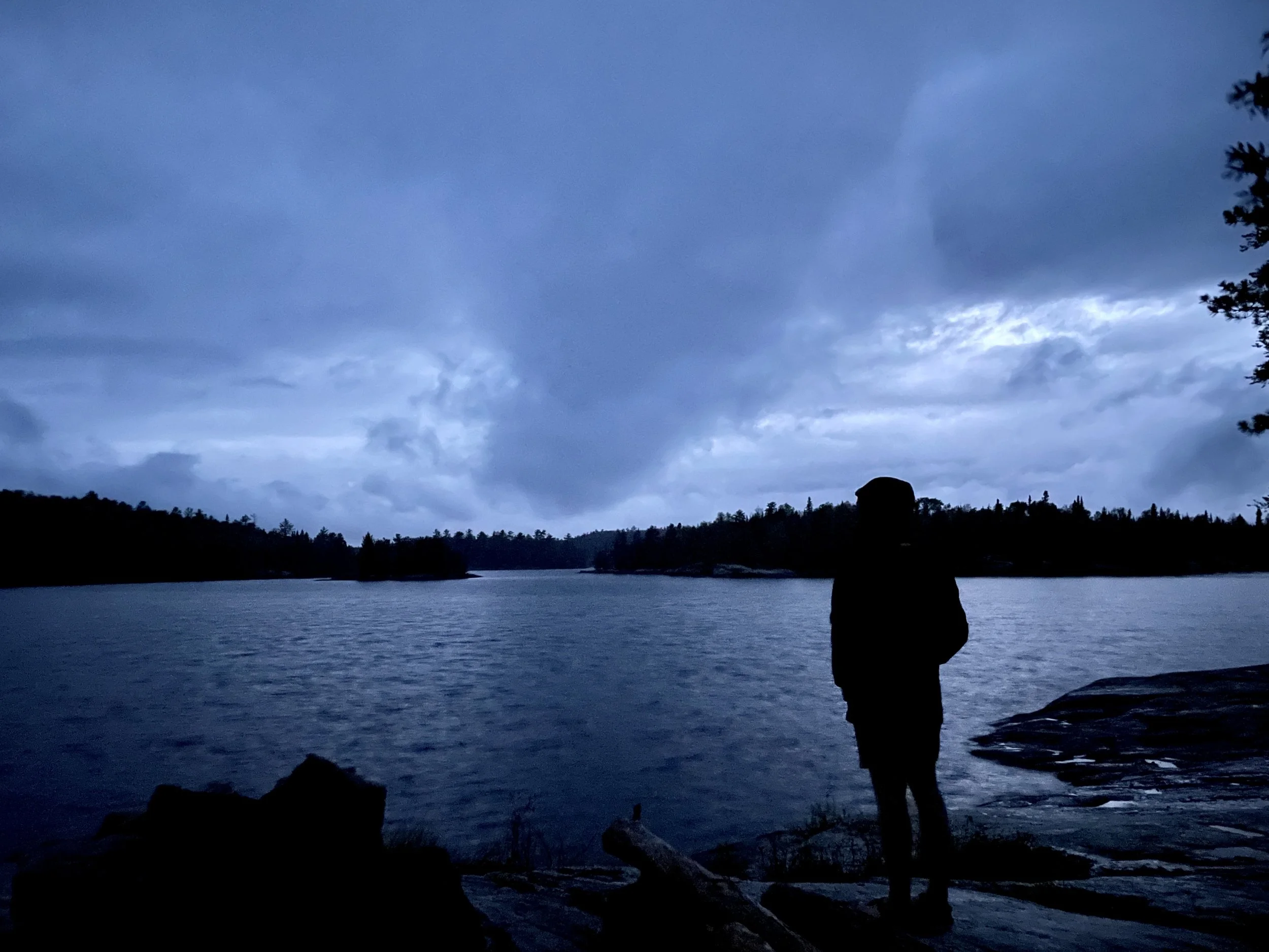
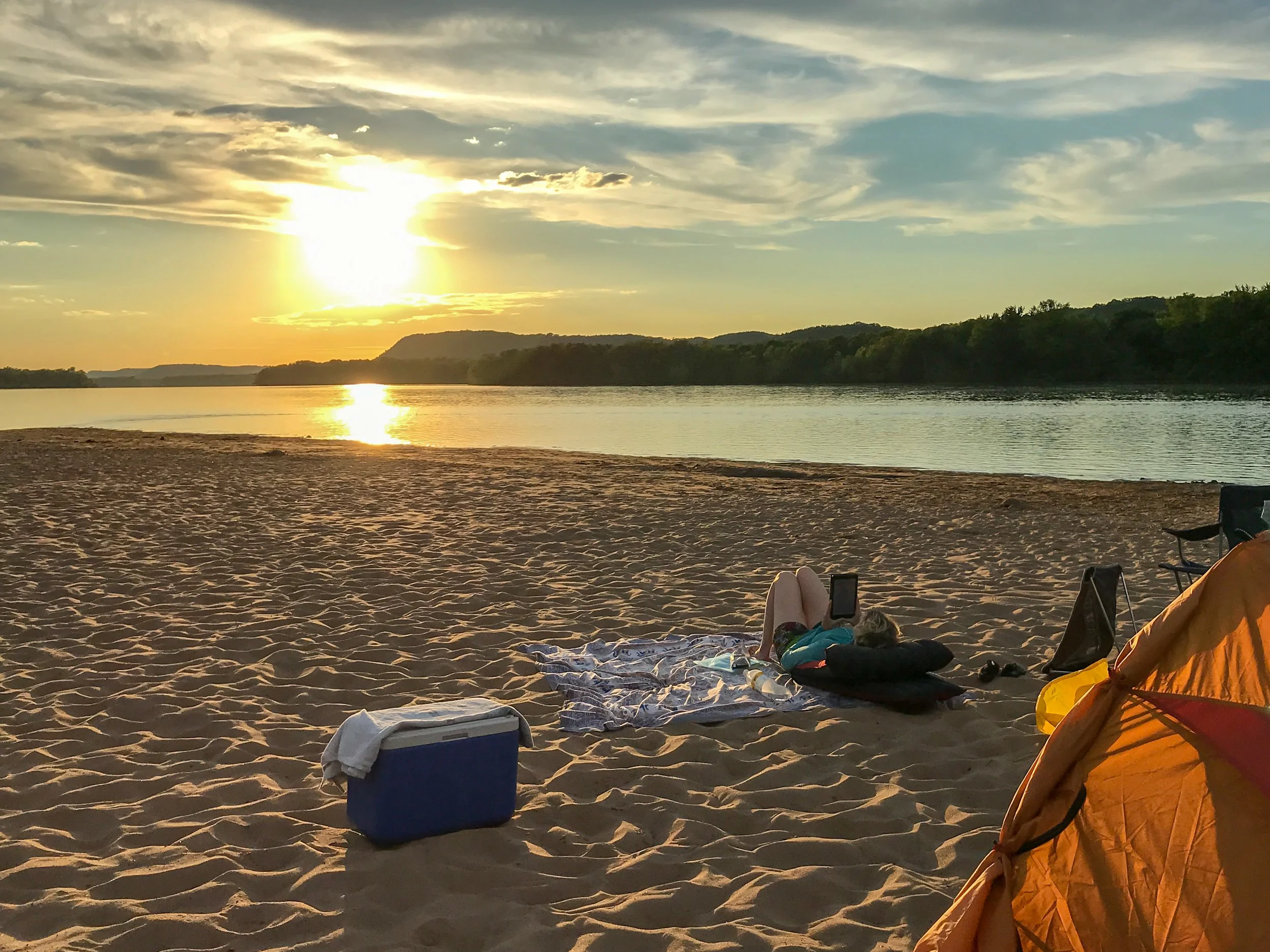
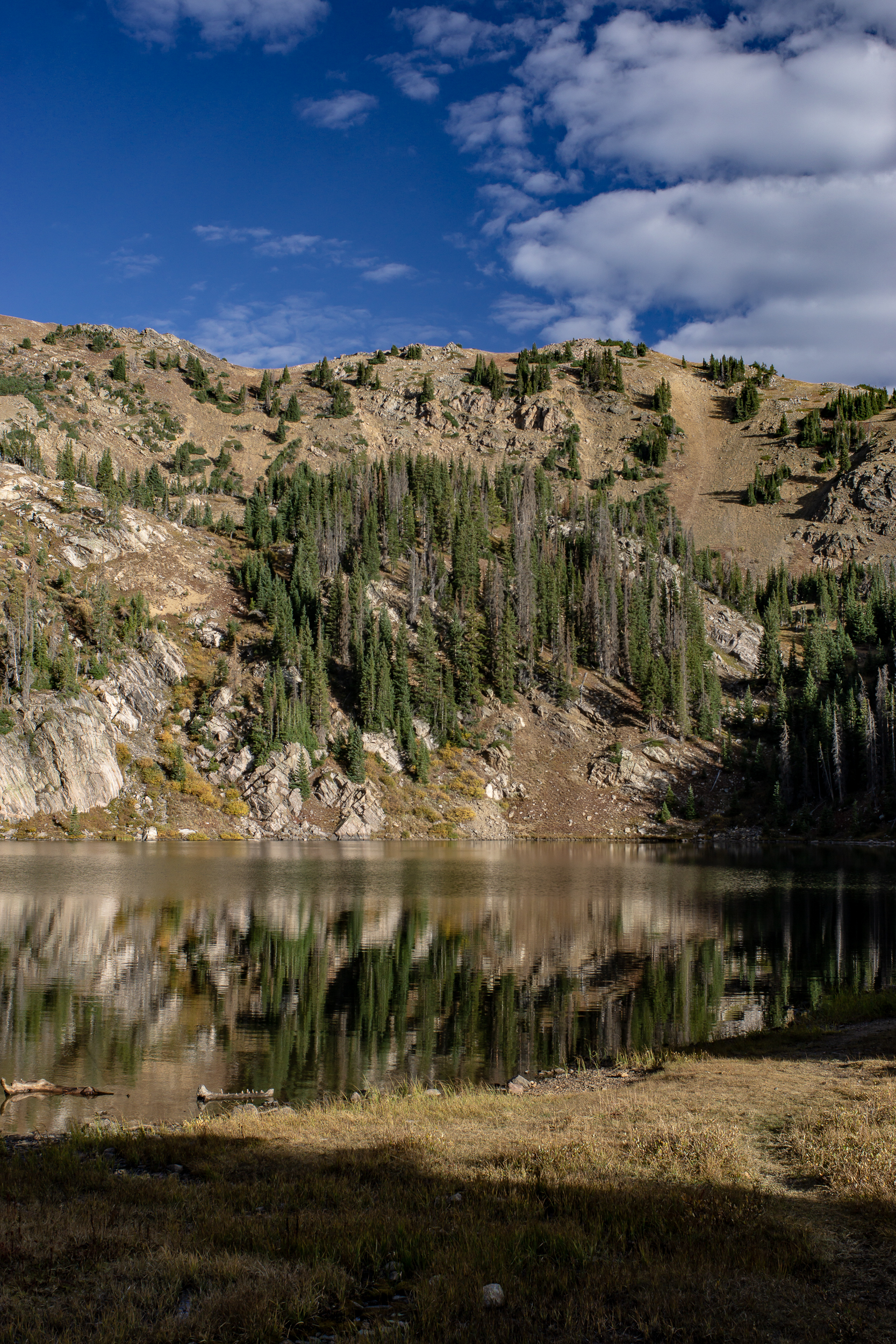
Although I've yet to use it, my favorite part is the fire ring overlooking Lake Superior. On a cool night, it would be epic to watch the stars or northern lights around the fire. In the summer, the creek and lake would be great for swimming.

The downside of Speakers is that it’s a bit cut off from the main trail system. It’s possible to hike anywhere in the park from the North Country Trail, the trail running by the cabin, but getting to the heart of the park is a long journey.

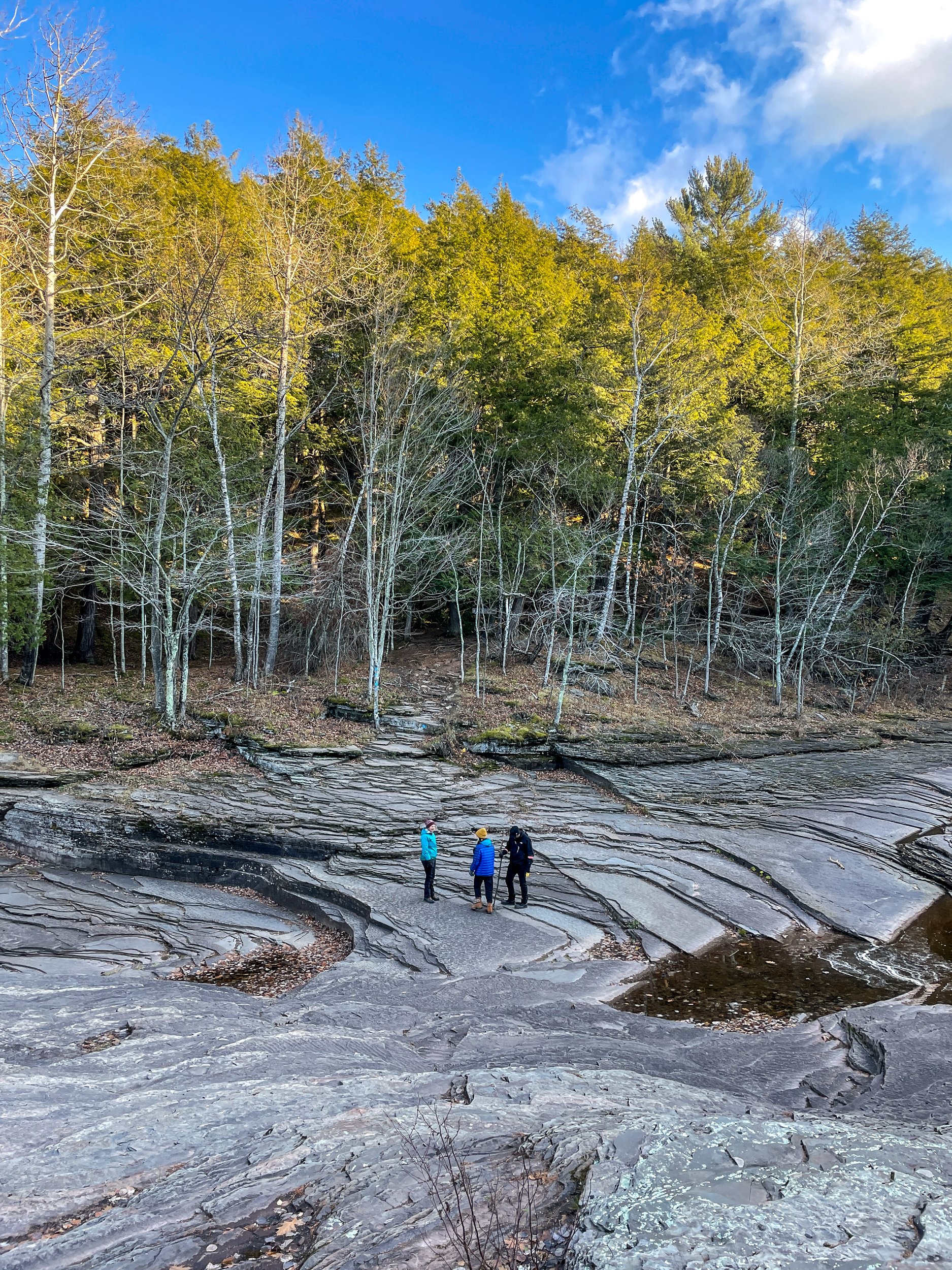
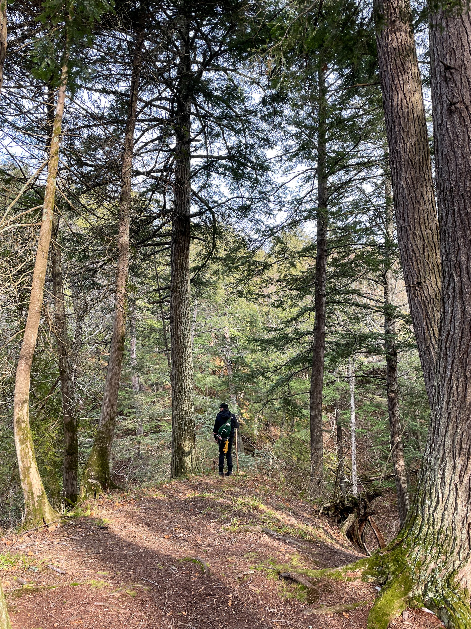
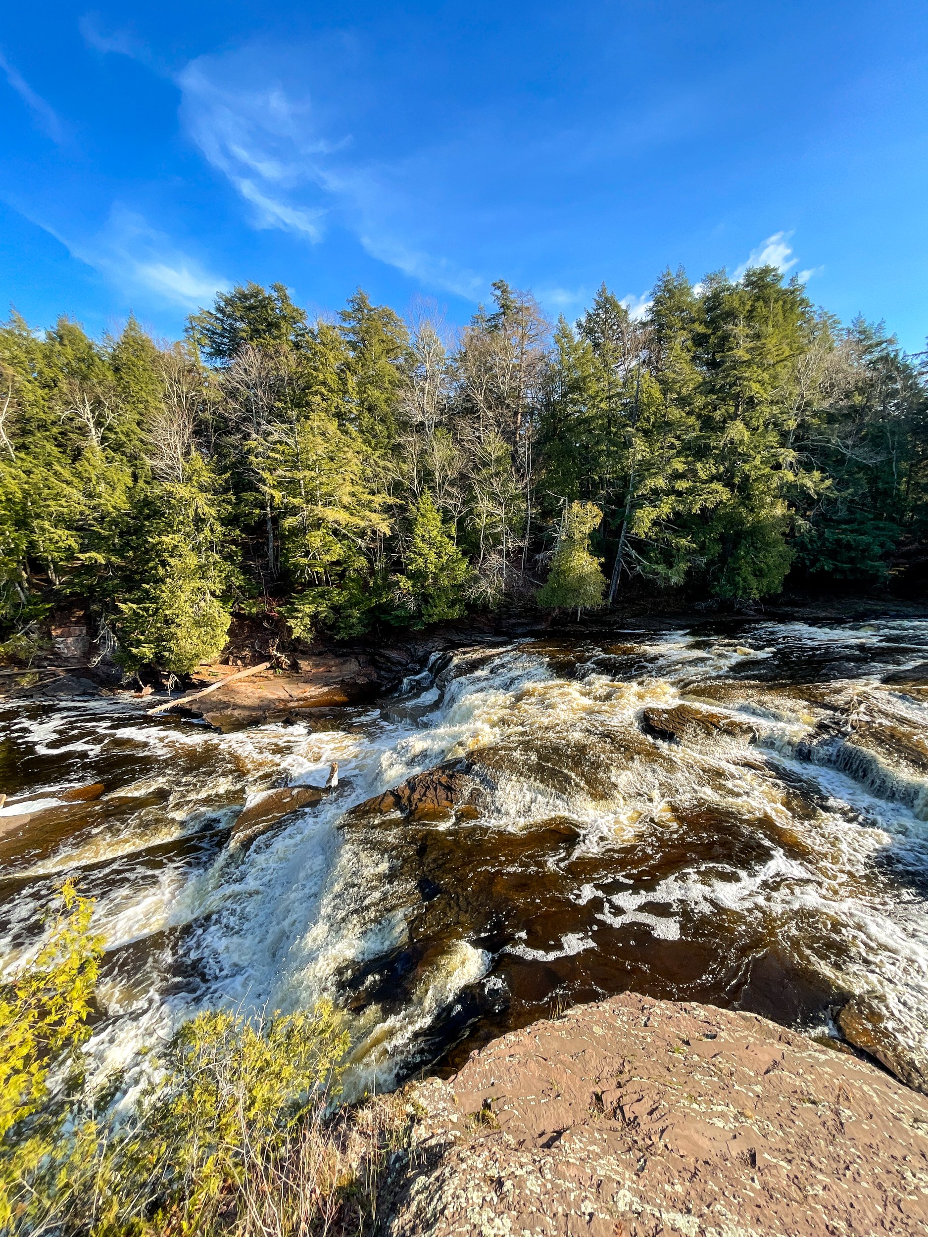
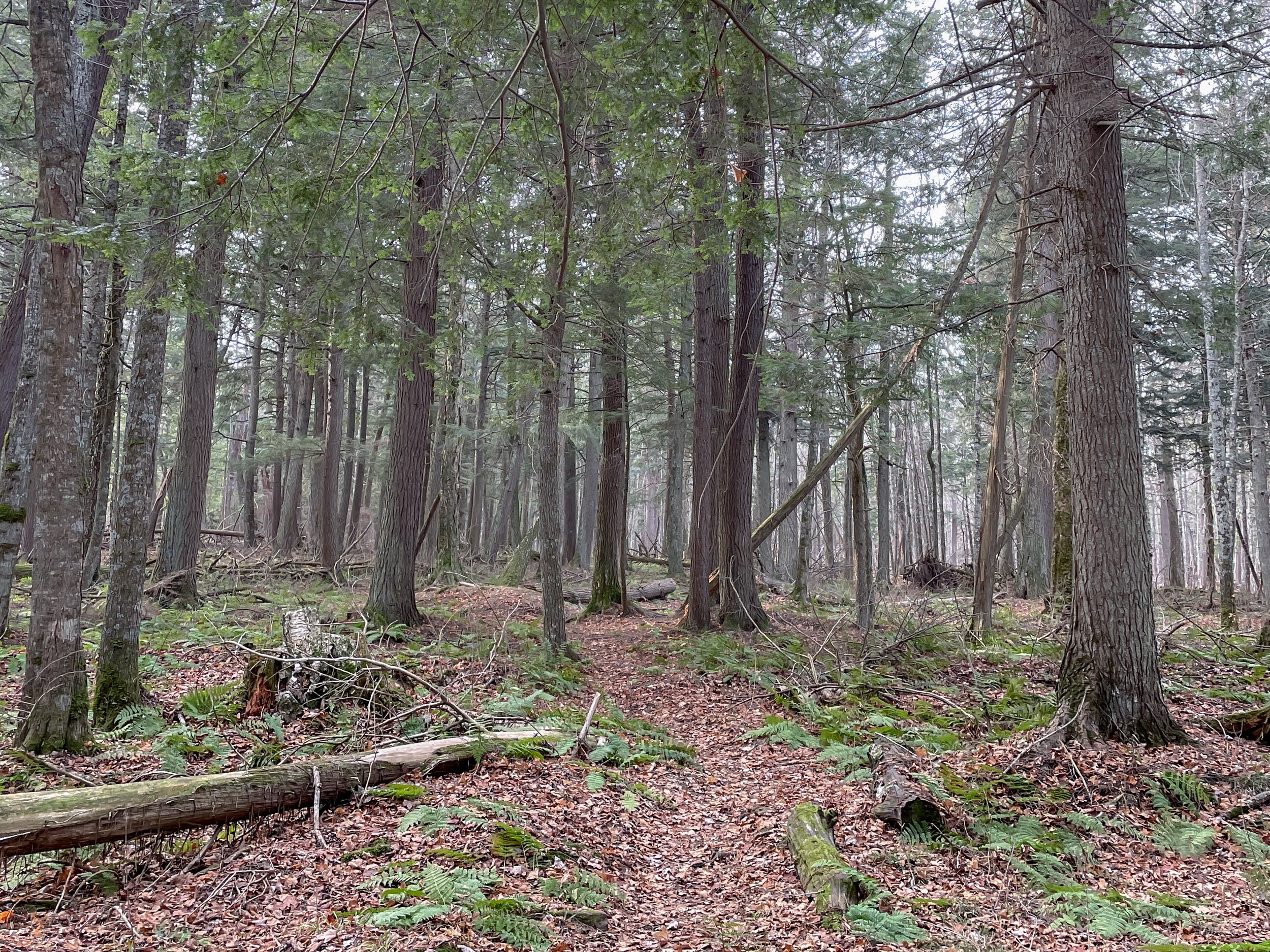
On the flip side, Speaker’s Cabin is the closest cabin to the Presque Isle side of the park. Personally, I highly recommend the hike from the cabin to the Presque Isle River and the waterfalls through the Hemlock forest. The trail from the cabin to the falls is lightly traveled through the moody forest. At approximately 5 miles round trip, it's a nice length to pack a picnic and lounge around the falls area.

A Week in the Boundary Waters

I’ve only been back in the US for a few days, but I can’t pass up the chance to jump on my buddy Neal’s Boundary Waters Canoe Area permit. It’s been too long since I was in the midwest’s premier backcountry spot

The thing I love about the BWCA is the limitless combinations to weave together routes through the lakes. It’s this kind of freeform exploration that I’m drawn to. So in this spirit, we set off for a week in the backcountry with no defined plan. 

We set off on a perfect day. Deep blue skies with puffy white clouds lazily floating along. The paddle started with 4 portages in rapid succession. None of them were particularly tough, but loading and unloading that many times gets tiring. 

Our first big lake, Fourtown, is a classic BWCA lake. Rocky points, islands, and lots of campsites. We had our pick of the lot and found a sunny site by 2pm. Early enough to get the hammocks out. I like the speed of this trip already.

The next day we paddled to Gun Lake with a few fishing stops along the way. Another great site surrounded by water on 3 sides. 

We woke up to a misty, rainy day. We debated if we should stay put or move on. After a few extra cups of rainy day coffee, we decided to move. 😆

Turns out it was a good call. The spot we got on Thunder Lake was top-notch. So good we made it a double. Thunder Lake was very quiet. It’s at the end of the line so not many paddlers make their way up there. Both nights we had clear starry skies and heard elk bugling at night. 

After a day off from paddling, we were raring to go. Plus, the wind was picking up and we could feel a storm brewing. Best to get the miles in and find a camp. When we hit Boot Lake the wind was at a full gale. We could see the thunderheads looming in the distance. 

After an exhausting paddle, we got to Fourtown Lake. We grabbed a west-facing spot. Figured it was better to get a view of what was rolling in.

We had just enough time to get the tarp up before the rain started bucketing down. For the next 3+ hours, we rode out the multiple waves of thunderstorms that passed by. It was epic and terrifying. By the time everything blew over, it was well past dark. Finding a spot to pitch our tents that wasn’t a puddle was a challenge. 

The next day was much cooler with bright blue skies. It was our last full day. Since we hardly slept (and survived the thunderstorms!), we decided to stay firmly planted at camp and take full advantage of the day by making good use of our hammocks. 

Links:

Tararua Range Overnight Trip

A few weeks ago we snuck out to the Tararua Range for an overnight trip. I was quickly reminded when backpacking in NZ 1. Bridges are (mostly) a myth 2. The trails go two ways: Straight up or straight down and 3. Moss is everywhere from ground to treetop.

I credit New Zealand for hooking me on backpacking. I grew up backpacking adjacent. Camping, hiking, canoeing, and a few short one-night trips. That all changed when I lived here a decade ago. I quickly fell in love with getting further and further from the car.

We started at the Kiwi Ranch Rd Trailhead, only 45 minutes from downtown Wellington. The Tararua Ranges form a massive forest park with backcountry huts dotting the valleys and ridges. NZ’s backcountry hut program is impressive, featuring over 950 huts. The cost ranges from free to $15/night. 

Our destination was the Tutuwai Hut. We made our way up and over Puffer saddle, descended to Smith’s Creek, and then along the Tauherenikau River. The track was smooth in parts, washed out in others, but we made it to the hut before dark. With decently dry shoes too!

The next day we started with a river crossing and then 2,700 feet up to the summit of Omega. The trail, like many in New Zealand, is impossibly steep. In true kiwi style, there are no switchbacks either. Just gut it out to the top.

From here, it was a long downhill along the Marchant Ridge. At first, the track was densely covered by trees. Toward the end of the ridge, views opened up back towards Wellington. Although we hiked most of the day, we didn't get back to the car after dark. The climb and the trail condition reminded me to adjust my pace expectations when hiking in New Zealand.

Even though it was only a one-night trip, it felt so good to be back in my backpacking birthplace. And my calves ached for two days after.

If you go:

100km on the Heysen Trail

Desert backpacking is a new experience for me. Unless you count the brief stretch of the PNT that goes through dry cattle country, my backpacking experience has been in lush forests or alpine mountains with abundant streams. 

The Heysen Trail is a 1200km (750mi) trail that runs from the South Australian coast to the Ikara-Flinders Ranges National Park. Near the northern end is where we start our 100km section hike. And we get to join my brother in law who is thru-hiking approximately half the trail over the next month.

The scenery of the Flinders Ranges is more varied than the barren red Australian dirt I was expecting - mountains, pine forests, rocky ridgelines, and even water in a few glassy pools. It’s winter, which helps make the landscape lusher than in the brutal summer season. In fact, the Heysen Trail is only hikable in the winter because of the extreme summer heat.

Our hike is turning into a real family affair. My inlaws are camping at Wilpena Pound, our first camp spot. This means three things: A free car shuttle, a pre-set-up tent, and (most important) a hot meal waiting for us at the end of the day. This is good because the first day is 34km (21mi) of hiking. 

We start along a flat 4x4 road that stretches into infinity through the red dirt. Around lunch, we leave the plain and crest a ridge with views surrounding mountains. The rocks are some of the oldest on earth stretching back millions of years. The folds show just how much they’ve twisted and shifted over the eons.

Still no sign of Zac as we descend into a lightly forested valley. Around sunset, we arrive at camp. Zac has just beaten us there. There’s enough food here for a dozen people. Perfect. 😋

The next day we start with a walk across the Wilpena Pound. The pound is legendary for its steep sides and only 2 entry points. The circular geography makes navigation tricky. Tales of settlers (and hikers) who entered the pound and never came out are on all the signage. Exiting the pound gives us views over the southern ranges. The rest of the day’s walking is up and down over the haphazard terrain.

The next day we walk along a dry and scrabbly rocky river bed. It’s flat but slow going. We reach the Mayo Hut in the late afternoon. The old stone hut has been lovingly restored by the trail association and makes for a nice place to steep overnight. And no need to pitch the tent!

More riverbed walking. Ugh. But the payoff in the afternoon is worth it. Walking the ridge of Jarvis Hill is a stunning mix of scrambling, trail, and jaw-dropping views. It’s also the end of our walk. We take our time soaking in the red expanse stretching out miles into the distance.

It felt good to sling my pack over my shoulder for the first time since last fall in the Pecos Wilderness. The muscle memory of eat, sleep, hike repeat kicked in and got me fired up for a thru-hike again… someday.

Links:

Mount Field National Park Weekend

One thing I love about Tasmania (and New Zealand for that matter) is the walking club culture. The vibe is similar to a casual community or church potluck, except with a bunch of hikers. Like the community potluck, the makeup of these groups spans all ages and abilities. 

From my experience, these types of large tent groups are rare in the US. Meetups have a similar openness but are too decentralized to achieve a strong community vibe. More formal groups often are hyper-focused on a specific activity, age group, or cause. Maybe it’s just like that in the midwest though 🤷.

Over the weekend, we went to Mount Field National Park with the Hobart Walking Club. The club has been around since 1929 and has over 800 members. Almost every weekend there is at least one trip planned. Each is organized by a leader and assigned a difficulty rating.

Our trip is an induction weekend for newcomers. There are day hikes each day and the best part is we get to stay at the private club hut near Mt Dobson. The hut has been mostly unchanged since the 1960s due to park regulations limiting the types of repairs the club can do. 

The first day we did an out and back hike to the Tarn Shelf to get views and see the alpine Fagus (beech family) bushes changing color for the autumn. 

The trail starts with a steep climb past the ski area and onto a ridge. After that, it’s a mix of walking on boardwalk and trails with expansive views into the wild, untamed western side of Tasmania. The changing color adds a pop to the scenery but compared to autumn in the deciduous forests of Wisconsin, it’s a bit of a letdown. 

The next day, after an evening cozying up next to the woodstove and talking with the other club members, we set off on a longer hike to Lake Webster & Lake Fenton. A short car shuttle is needed for this hike, but well worth it. These tracks are less traveled, through thick forest and underbrush. The going is slow, but it gives us a chance to chat as we go along.

About 4 miles in we find a pleasant spot to take a break near an open field. All seems fine for the first 5 minutes until an itching sensation hits our feet. Leeches! We pack up and get out there fast. Overall only 1 or 2 bites in the group, nothing like my trip to Ben Nevis years ago.

Near the trailhead, we find a rockier spot (not leech territory) to sit and look over the lake. On the way out of the park, we take the quick 10 min walk to Russell Falls before heading home.

Links:

6 Days in the Pecos Wilderness

It’s been a year since I’ve been backpacking. A whole year. 😢

With the pandemic and being extremely busy at work, backpacking in 2020 seemed like a lost cause. Then my friend, Eric, texted a fully worked-out route in the Pecos Wilderness . All I needed to do was show up. After a bit of juggling, I managed to get the time off. Away I went!

Our route was a touch over 36 miles. Lots of high elevation ridgewalking, views, and alpine lakes. Perfect! In total, our trip was 6 days with a rest day in the middle. The pace was great for the shorter and cooler days at the end of September. Plenty of time to rest and soak in the views. And for Eric’s 9-year-old canine Daisy to hike with us.

The night before we started we camped at Jack’s Creek Campground. An excellent jumping-off point .5 miles from the trailhead. It had been two years since I saw Eric, but pulling into the campground his old familiar Tarptent was easy to spot amongst all the RV setups.

The first day began with a climb and leveled once we were up on the ridge. The ridge was mostly through active grazing land at the start with our first views. Then it changed to an aspen forest before dropping into the Pecos River valley. Right before the descent, there was a spectacular cliff viewpoint. This would make a great dry camp, but we pushed on a little further.

On day 2, we continued our hike up the Pecos River. The hiking was mostly through the forest. Pecos Falls served as a scenic spot for lunch. As we climbed higher along the Valdez Trail, the weather turned to drizzle with thunderstorms in the distance. Around dinner, there was a quick break in the weather allowing us to set up camp and shovel down some food before the next round.

The next morning we woke up to a magical (and extremely cold) frost inside and outside of our tents. We decided to break camp as fast as possible and high tail it to the ridgeline for breakfast in the sun. The rest of the day was entirely along the ridgeline with phenomenal panoramic views in every direction. There was a mix of trail and cross country travel, but it was easy to navigate. We ended the day at Truchas Lake, which we had all to ourselves.

The clear alpine lake was a perfect spot for a rest day. We spend the morning basking in the sun around the lake, reading and watching the world go by. In the afternoon, we explored the upper lake and boulder field. Chirping pikas and marmots were busy preparing for the nearing winter. The weather was stunningly warm for late September.

Day 5, back on the trail. Another sunny day almost entirely of ridgewalking and 360-degree views. We found a stunning spot in the sun and out of the wind for a 2+ hour siesta. Dropping off the ridge, we camped at Pecos Baldy Lake with views of East Pecos Baldy.

On day 6, we did a morning summit of East Pecos Baldy, about 1,000ft above the lake. Then back to camp for lunch. It’s another stunning late September day. The aspens' full yellow foliage is on display. We get to the car in the late afternoon, sip a post-hike beer, recap the trip, and part ways.

Overall I'd highly recommend this route. I enjoyed going counterclockwise to warm up my legs through the forested section and get the spectacular ridgewalking in the second half of the trip. However, either direction works. Best to tailor your trip to time the ridge walking with the clearest weather window for the views. At 36.5 miles you certainly could do it faster if you don’t have a full week. Many thanks to Eric for planning and getting me back out there. And to Daisy who was the best hiker in the group!

If you go:

Sneaky Wisconsin River Camp

It’s been a sedate summer. Most of the camping trips we had planned have been postponed. While it’s nice to focus on staying close to home the vibrate neighborhood festivals that make Madison so fun in the summer have been cancelled. To add to it, K and I both got new jobs at the end of June. With lack of other things to do we’ve thrown ourselves into them and barely taken a day off. 

Realizing it had been over a month since we slept in a tent - a crime in the summer, right? - we decided we needed to do something about it. Even if it was just for a night. So we took a short drive to the Lower Wisconsin Riverway

The LWR is the longest free-flowing stretch of river in the Midwest, 92 miles long. Leave No Trace camping is allowed on the sandbars. Most people access it by boat, but there are a few spots that you can park and walk a couple hundred yards to some great camping spots. We chose a spot near Arena, WI about an hour from Madison.

In total we were probably at this spot only about 14 hours. But it was a great recharge with great swimming, beaching and a spectacular sunset. 

If you go:

https://dnr.wisconsin.gov/topic/lands/lowerwisconsin

Madeline Island Lockdown Escape

How’s everyone holding up out there? It seems trivial to post about what I’m doing when so many are suffering, but I’ll give it a shot.

First off, I’m grateful all my friends and family are safe. There are a few silver linings to living in lockdown. My garden is looking fantastic. I’m caught up on all the shows I wanted to watch. 

But I’m going stir crazy. No friends and limiting my adventures hyper-locally is getting dull. With summer is going into full swing I figured/hoped a weekend camping trip is an ok socially distanced activity. 

If you pretend both the air and water temperature are 20 degrees warmer, Madeline Island can feel almost like you are somewhere tropical. The azure blue water of Lake Superior and sandy beaches certainly look the part.

Our pandemic splurge was a set of paddle boards. Big Bay Town Park was a nice spot to play with them. Lake Superior was calm and we played with them on the gentle waves. The next day we took them out on Big Bay Lagoon which was even better. The water was glass like and there were a number of nooks to check out.

There isn’t a lot of hiking in either Big Bay Town Park or the adjacent Big Bay State Park. But the roughly 1.5 mile boardwalk trail connecting the two parks is a nice stroll between the bay and the lagoon.

On our way home Lake Superior was again very calm and we took the paddle boards out to the sea caves in Apostle Islands National Lakeshore. It was an amazing trip, but I was too scared to bring my phone out on the open water. Sadly, no photos.

If you go:

Thanksgiving Hut Adventure

It takes a special friend to forgo family and be willing to travel over Thanksgiving weekend. Luckily I have one of those friends. In short, our phone call goes like this:

Me: “Hey”

Him: “Hey”

Me: “I have a kinda crazy plan for Thanksgiving...”

Him: “I’m in!”

2018-11 Thanksgiving Hut-03624.jpg
2018-11 Thanksgiving Hut-03678.jpg

The plan? Rent a backcountry hut, fill it with friends, build a pulk and lug up a turkey + all the fixings for Thanksgiving. Ok, maybe not that crazy, but certainly fun.

He’s not lying, he books tickets from Seattle to Denver shortly after our phone call. After looking through the huts we settle on Jackal Hut, part of the 10th Mountain Hut system. Not too far from the front range and close to Vail where about half of our guests live (this will end up being very fortuitous, but I’ll get to that later).

2018-11 Thanksgiving-1547.jpg
2018-11 Thanksgiving-1544.jpg

The hut is only 3 miles from where we park but it climbs 2,400ft. We’re fully loaded and then some. I have snowshoes & skis on my pack and then the pulk which has 2 12lb turkeys, 2 pies, various bottles and bladders of wine and who knows what else. Halfway up, when I’m seriously regretting my offer to haul all this up, I do a mental approximation of the weight in the pulk - 50 lbs at least.

The first half of the way up has patchy snow and mud (makes the pulk pulling almost impossible), thankfully the second half is snow covered and much better (though still insanely steep). We make it up to the hut around 3pm, exhausted, but in good spirits. Time to get this turkey cooking and the bread proofing.

2018-11 Thanksgiving-1553.jpg

Getting the woodburning oven up to a good heat works surprisingly well. I’m nervous that actually cooking the turkey for 3 hours won't be so easy… it turns out to be a little finicky but the turkey comes out looking awesome (no one took a picture, wtf). The bread also comes out nice after rising for a few hours. The rest of the crew chips in and makes green beans, mac and cheese, potatoes, stuffing, cranberries and gravy. After stuffing ourselves and downing a few glasses of my Seattle friend’s home-made wine we all agree that persevering to get all this up here was worth it. Now we have to eat more so I don’t have to carry it down!

2018-11 Thanksgiving Hut-03637.jpg
2018-11 Thanksgiving Hut-03645.jpg
2018-11 Thanksgiving Hut-03659.jpg

Day 2 brings another 3 guests, 6” of snow, skiing and turkey #2. This one has been precooked and smoked and requires much less effort but tastes amazing, especially with all the leftovers from the night before.

2018-11 Thanksgiving Hut-03692.jpg
2018-11 Thanksgiving Hut-03628.jpg
2018-11 Thanksgiving Hut-03698.jpg

Day 3 it’s still snowing. After skiing and lazing around the hut we descend down to the cars (it takes less than ½ the time it took to get up). There is about a foot of snow on the cars and the snow is flying horizontally. The road back to the highway is flat and even with the low visibility I don’t think too much of the snow, until we get to the highway. The plows have been busy… plowing us in behind a 4 foot high wall of snow, ice and grit. I should have known better, but that’s irrelevant now. After using snowshoes and hands to shovel a hole for the car to fit through I back up and get ready to gun it through (again no pictures, sorry!). My friends are ready to push from behind to get me over the hump if need be (it was needed). I make it over and we slowly crawl on the highway back towards I-70. Cars are in the ditch all over the place and the snow keeps getting worse. When we get back in cell range we discover I-70 has been closed. There’s no way I’m turning around and going back over the pass to try to get out (the usual 1.5 hours back to Boulder is estimated at 6 hours).

Thankfully one of our hut crew lives in Minturn (where we are stranded). We head back there and wait until the rest of the group shows up. It’s decided that in exchange for dinner and beers we can all sleep on his floor for the night. Empire Records on Netflix it is, slumber party style!

2018-11 Thanksgiving Hut-03746.jpg
2018-11 Thanksgiving-1573.jpg

Never Summer Wilderness Weekend

It feels appropriate to ring in the fall equinox in the Never Summer Wilderness. I wasn’t sure what to expect here having not read much about it (and really I shouldn’t be surprised) but, wow, it was an excellent trip. Scenery was top notch, it was only 2 hours from my door to the trailhead for an amazing weekend loop. And the bonus: from Boulder the fastest way is to take the Trail Ridge Road through Rocky Mountain National Park. Not. Bad.

Never Summer Wilderness-01017.jpg

We hit the trail the first day around 11ish (yes we are lazy). From the parking lot the trail skirts the side of the mountain until it intersection with the Bowen Trail, which is also part of the CDT! From here we began to climb up Bowen Gulch. Our total gain was 2,800ft over 8 miles but given the consistent increase it didn’t feel too bad. We split off the CDT onto the Bowen Lake Trail for the last 1.25 mi to get to Bowen Lake, a great place to set up camp and chill for a few hours before sunset. There were a few people around but it really wasn’t busy. The hike up was mostly through the forest, not much for long views but a very pleasant hike, especially with the aspens starting to change. Scenery at the lake opened up a bit and we could see the ridge we were taking the next day.

2018 Never Summer Wilderness-01039.jpg
Never Summer Wilderness-01050.jpg

Day 2 we hit the trail early and got up onto the ridge behind Bowen Lake, the Cascade Mt Trail. The ridge section is about 4 miles and there are amazing views in every direction. And a summit of Cascade and Ruby Mt if you choose to (the trail itself goes just below the summits). The trail is easy to follow, in a few sections it became faint but since we were following a ridge, no problem.

Never Summer Wilderness-01086.jpg
Never Summer Wilderness-01078.jpg
Never Summer Wilderness-01111.jpg

The ridge descends down to Bowen Pass and intersects with the CDT/Bowen Trail. We headed west on the CDT for a ¼ mile before the intersection of the Jack Park (?) trail. There is a small creek here and it provided a sunny spot for lunch. The trail winds up the side of Fairview Mt and after a mile we bore right at another unnamed trail junction. We headed up to the pass between Fairview Mt and Parika Peak getting good views along the way. At the pass we could see down to Parika Lake and the Baker Gulch, our way back to the car. Parika Lake is exposed and would make for a tough camp in windy weather if doing the loop in the other direction. There are more sheltered spots a bit farther down Baker Gulch near an unnamed lake at approx 11,000ft that would make a good camp. The walk out down the valley became mostly wooded and was similar to the Bowen Trail we took up.

Never Summer Wilderness-01171.jpg

Made it back to the car around 4pm, I was tempted to stop in Estes Park but I’m glad I was able to wait another 30 minutes to Lyons where we hit up the Oskar Blues Taphouse for a delicious burger and a beer.

If you go