We begin our adventure on the GDT with a climb from Waterton to Alderson Lake, our first camp. It’s only 7.5 km (4mi) but it’s a nice way to ease into the trail.

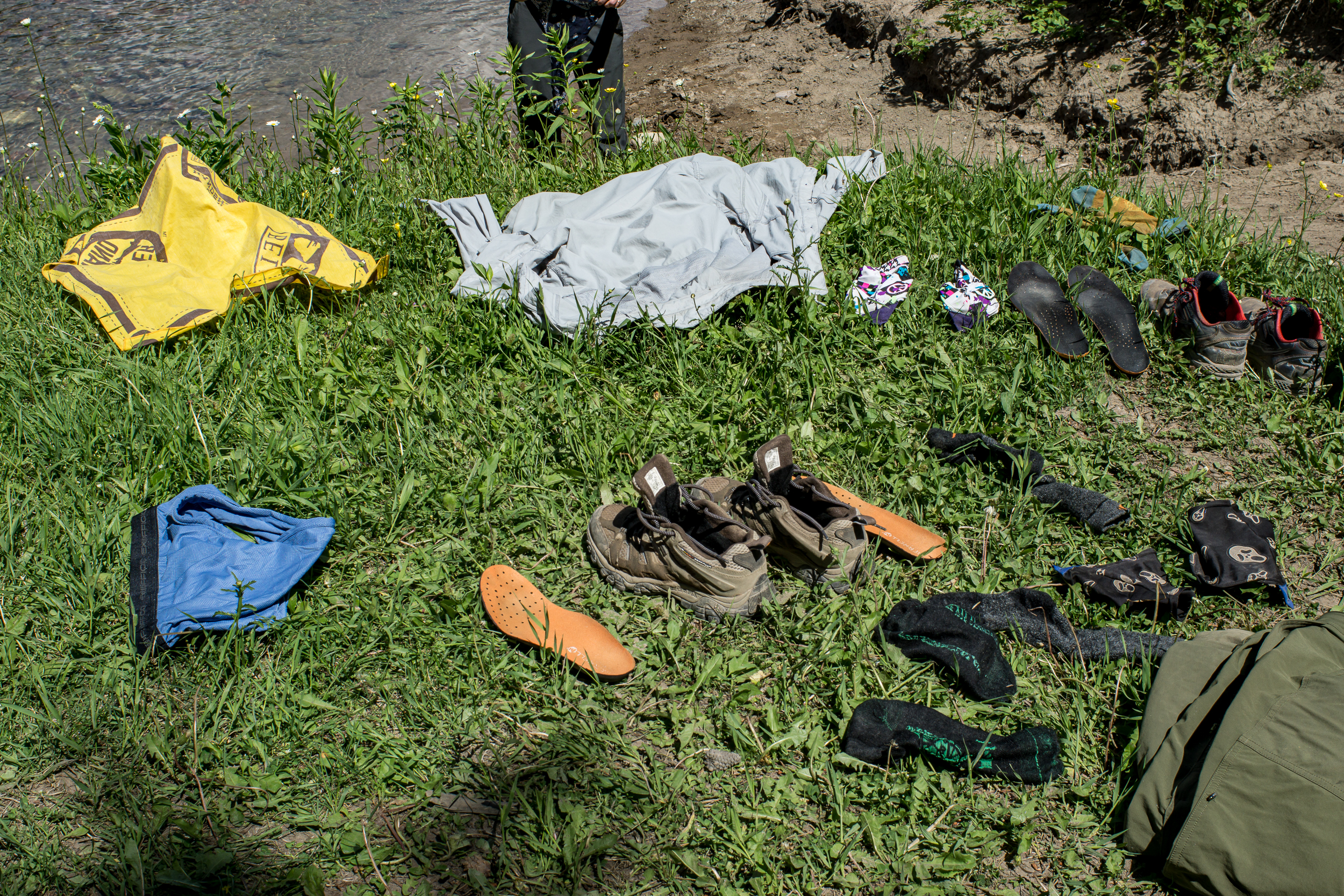
A contentious issue before we started the trip was the matter of camp shoes. I was staunchly against, K was in favor of a pair of cheap flip flops (7 ounces, insane!). It’s day 1 and we come back from cooking dinner to a missing flip flop. We hunt for it with no luck. I’m blamed. I swear it was a marmot (it was, honest).
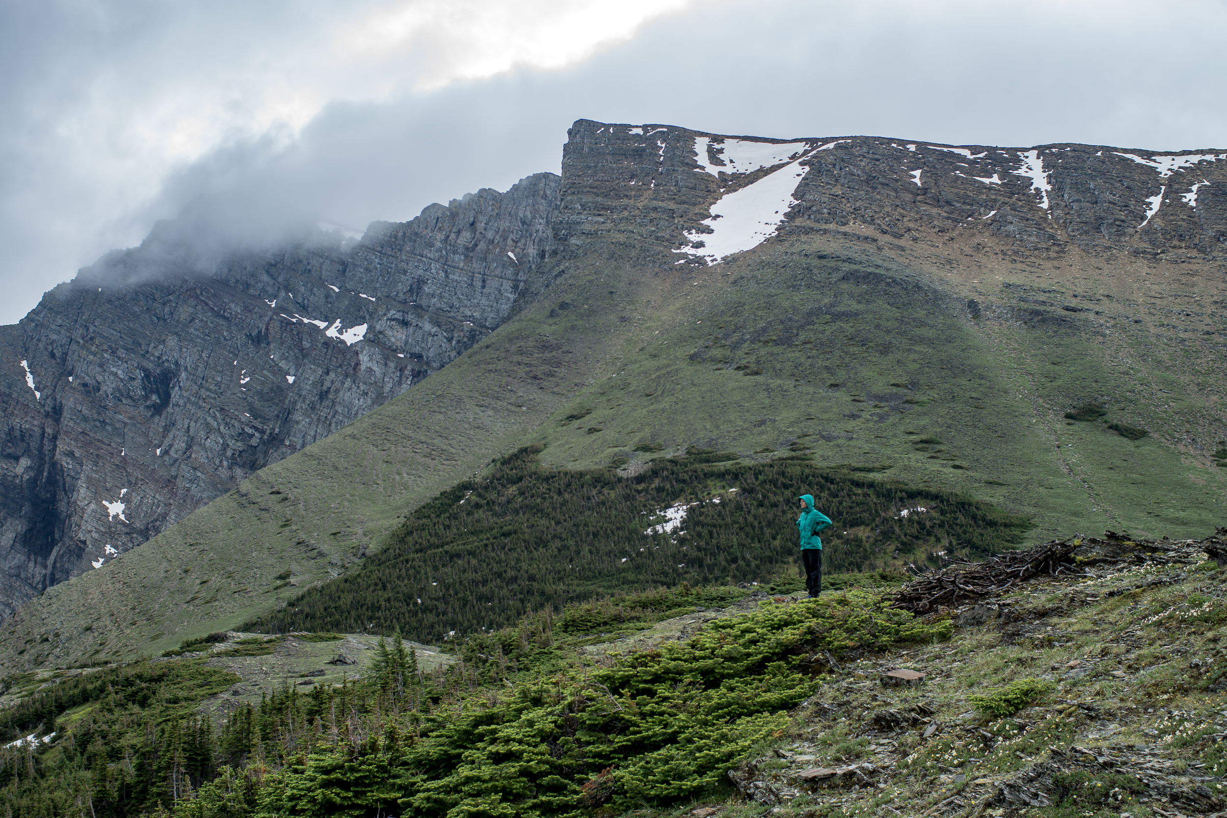
It rains overnight and we wake up to a misty morning. The trail to Carthew Lakes is clear until just before the last steep climb to the lake, here we encounter a ~6ish foot snow wall. We make it over by cutting in foot and hand holds and slowly making our way up. At the top we see the lake and tons of marmots hanging out on the rocks (which one of you is currently lining your burrow with a comfy stolen flip flop?). When we get to Cathrew Summit the fog has lifted and the views are jaw dropping. We are definitely take an early lunch break here.


At Cameron Lake the sun is shining and it’s packed. We just left Waterton yesterday but it feels weird to see this many people especially since we only saw one other camper last night. From here we head down the road to the Akamina Trail and the Akamina Creek Campground. We make it to the campground by 4pm and enjoy the rest of the sunny day relaxing near the creek.

Day 3 we head back out to the road and take it to the Tamarack Trailhead. We debated taking the Mt. Rowe-Sage Pass alt but it’s only day 3, let’s not get ahead of ourselves. The trail up is mostly shaded, good cause it’s getting warm, and the wildflowers are everywhere. About 5km (3mi) from the start of the trail we reach an open meadow before we start up the ridge. From here the ridge looks impressive, and it is, there is 1,500ft of elevation gain in the next 1.5 miles.

Walking up to the ridge we are going over snow patches, most are fine, a few are a little steep and deeper than I’d like. What makes me more nervous is the snow above us, it looks stable but it’s overhanging the edge. We hurry past this part of the bowl and just before the apex of Lineham Ridge there is one last lick of snow to cross. The ridge comes to a point and the trail goes up and over. To our left it’s steeper with deeper snow (see: slide back down the 1,500 ft we walked up), to our right a ~700ft drop off (see: death). There’s a big bear paw print in the snow, and the view past it is obstructed by a small rock pile we have to cross. From looking at either side of the snow in the small dip before the rockpile I come to the conclusion that it’s probably not a snow bridge. K really doesn’t like the “probably” qualifier. We brave it over and thankfully it’s not as bad as it looked once we get on it. Once we’re on the other side the entire ridge down is snow free with views for miles.


The Tamarack Trail follows the northeast facing side of the valley and there is still snow (and snowmelt) here making it a slow slushy walk. We come across many bear prints and fresh-ish scat on this section of trail. I’m glad Lone Lake, our destination, is in another valley.

Day 4 and another day of clear blue skies. I didn’t get very cold last night so I’m expecting today’s going to be a hot one. We head out toward Twin Lakes, no one else in sight. The trail into Twin Lakes is the same as into Lone Lake, snow covered and some postholing is required to get down. When we get to Twin Lake we stop and have our first major trail discussion of the trip.

After yesterday's freaky snow experience on Lineham Ridge we’re not sure what the GDT primary route over Sage Pass will be like. We don’t have ice axes for snow travel and we know the next 2 days involve some very steep ridges. Could be dicey. The alternative is to take the Twin Lakes Trail down to (I think) the Avion Ridge Trail. Once the trail hits the border of the park we should be able to take an old fire road down to the South Castle River and then follow the road/ATV trails out to the road and rejoin the GDT at A31/Syncline Mountain Trail. It’s a big detour and it’s skips some great ridge walking, but much less risky.

In the end we take the detour, I’d hate to come across a situation feel “obligated” to continue on a dangerous path. It’s a bummer but the route ends up being a fun journey through the castle river valley. Once we are at the edge of the park the trail stops but the fire road is obvious the whole way down. There are a few blowdowns but nothing too intense. When the trail levels out there are sections of brushy willows bushes over the trail, annoying more than difficult, but otherwise a clear trail. We camp about ⅓ of the way down the valley.


Day 5 is mostly walking down the rest of the Castle River valley and then out to the 774 road. The walking goes fast, as we get closer to the developed road the trail changes to ATV to gravel road. We spend part of the afternoon “swimming” (more like running in and running out of the water before we freeze) in the Castle River, later we find an old campground near the river to stop for the night. The walking was easy, mentally it was tougher thinking about the ridge section we were skipping.
Day 6 We begin the day by hitting the 100km mark of the trail (although with our detour i’m not sure how far we’ve actually walked), then immediately onto a cutline straight up 1,000ft. After that we’re mostly on ATV roads for the rest of the day until we get to Willloughby Ridge and start to climb again. It’s windy and we end up camping on the east side of the ridge instead of the ridge itself to provide some shelter. The only flat-ish spot is the trail itself which is also covered with bear track (black bear I think/hope). Yikes.
Day 7 Walking Willloughby Ridge is beautiful and the weather is calm. We’re not in the mountains but the views of the mountains from here are stunning. After the ridge it’s 16km of ATV trails into Coleman. Section A complete!
Links: