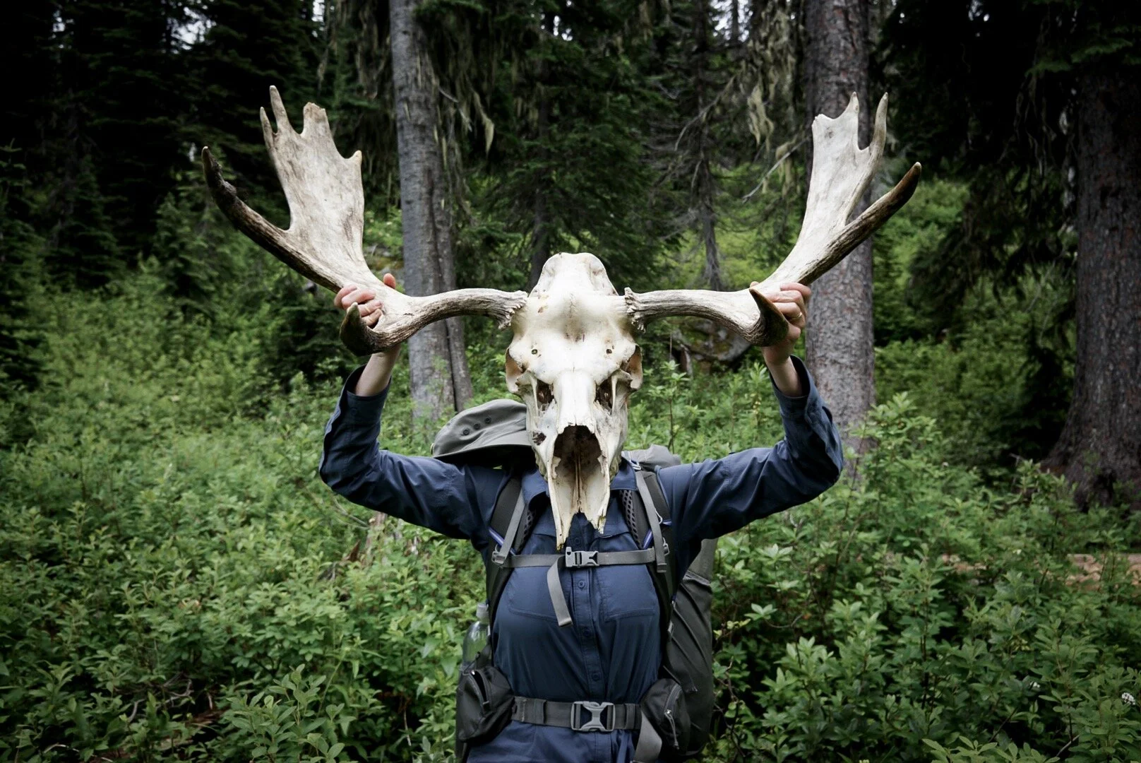
A version of this post appears on The Trek, which you can read here
After over two weeks through wilderness, national parks, and battling a stomach bug we are pumped to be walking the Puget Sound section of the PNT. It runs down Fidalgo Island and Whidbey Island just a few hours north of Seattle and passes through numerous small towns. As in, numerous opportunities to eat food. Hot, delicious not freeze dried food.

It involves a lot of road walking but I don’t even care. I’m eating at all the spots the road takes me past. Big breakfast with bottomless coffee? Check.

Lunch at the brew pub a few hours later? Done.

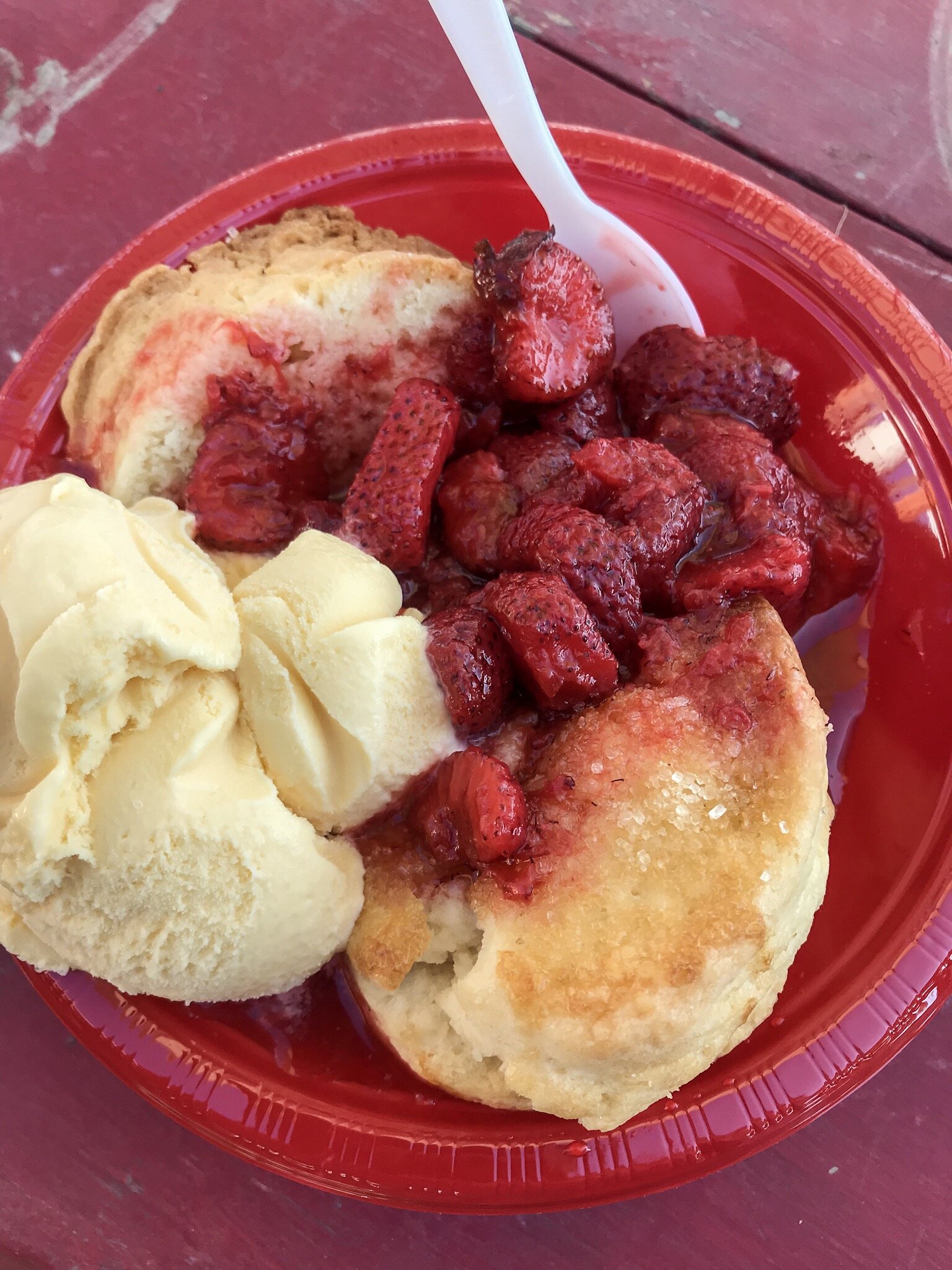
Strawberry shortcake afternoon stop? Oh, hell yes!
Oh, and a taco truck? No problem, the PNT has that covered too. But food aside this section gets us to saltwater for the first time.


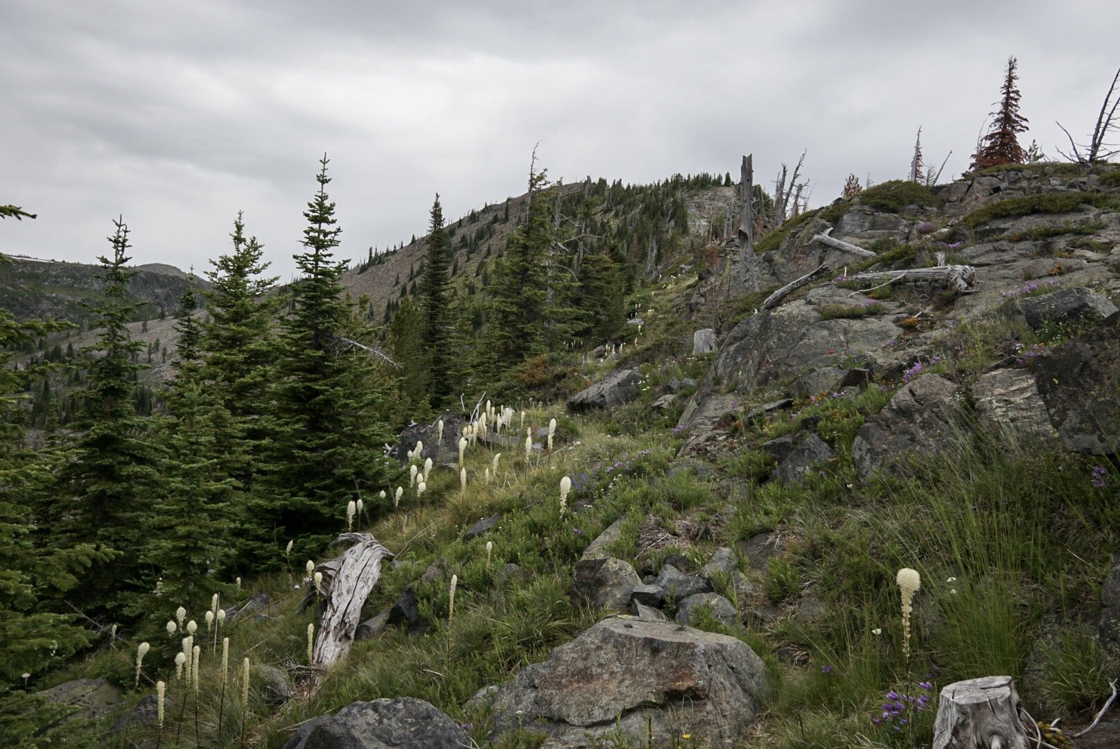
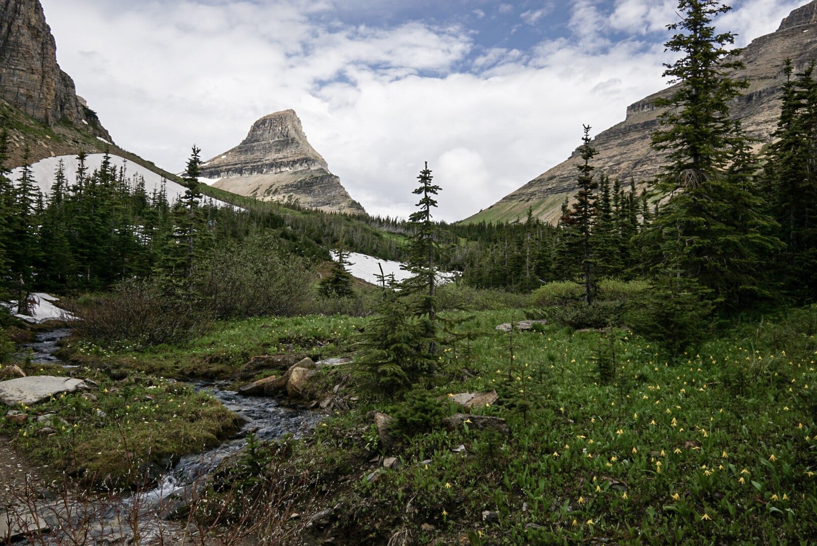
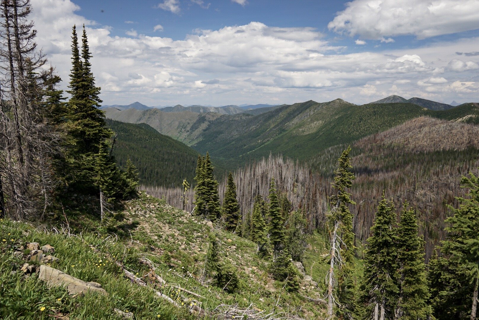
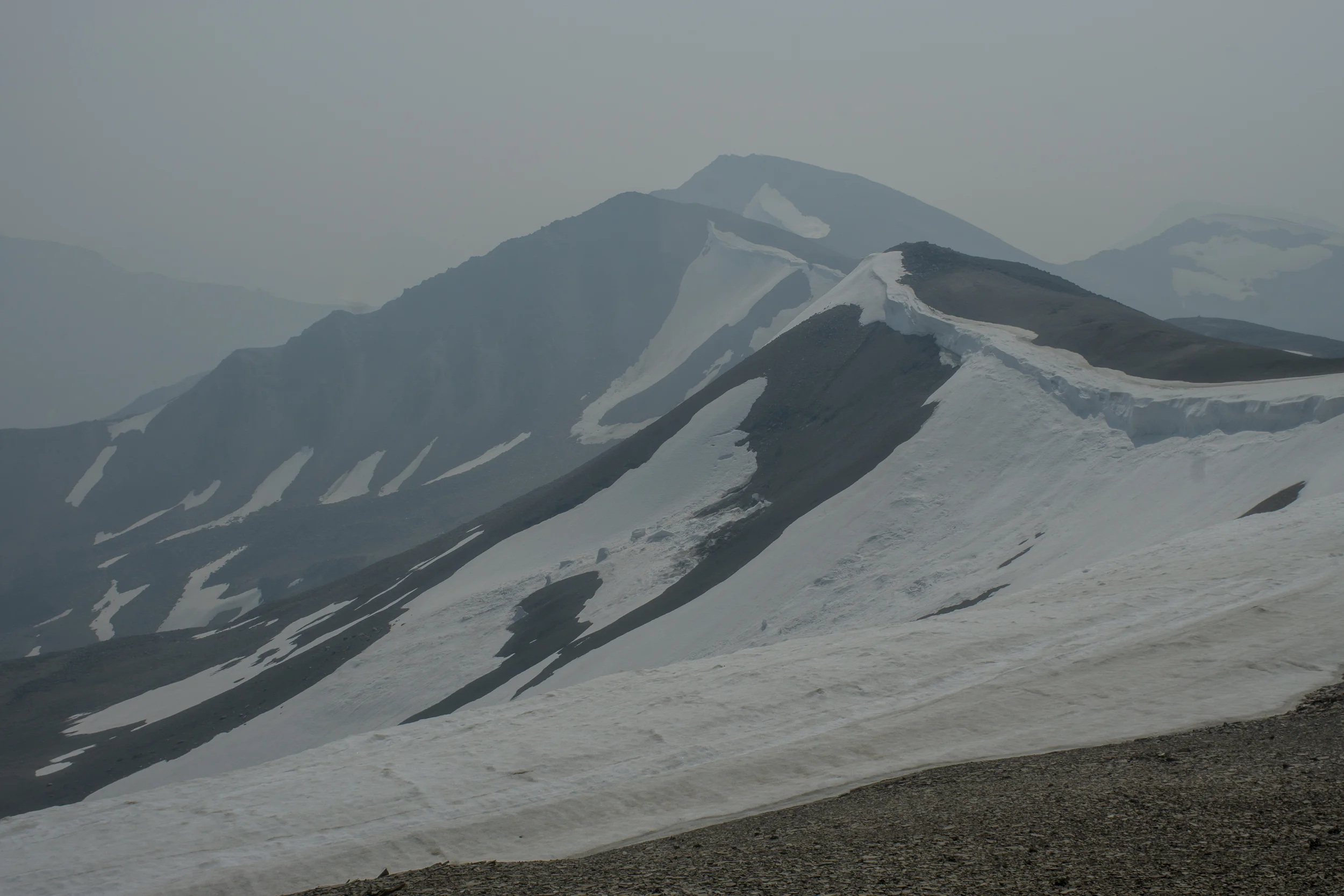
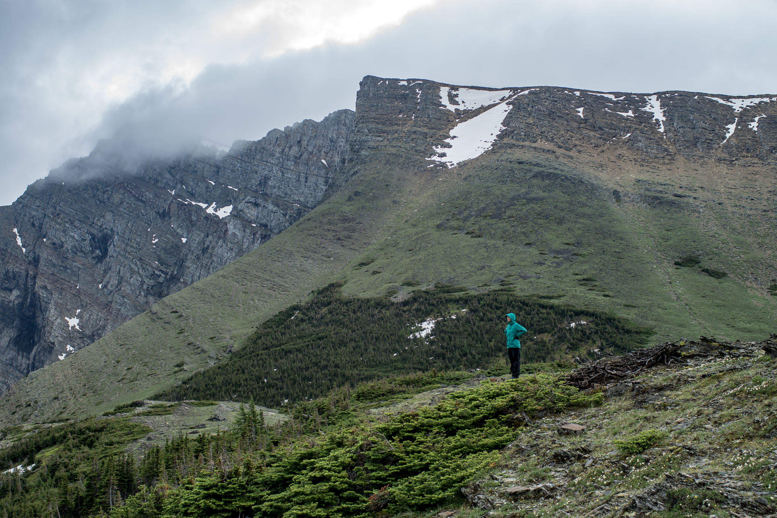
The last month or so has become routine. Hike, eat, sleep, repeat. Until now I kind of lost sight of the big picture. Seeing the tidal flats and smelling the salt it all hit me at once: we walked here from Montana. Whoa.

It’s also bittersweet. We have a ways left to go, but our journey will come to an end faster than we realize. Boarding the ferry to the Olympic Peninsula feels like the beginning of the end.

But of course, before we get on the ferry we make sure to eat two sandwiches and a pint of gelato.