American Birkebeiner Race

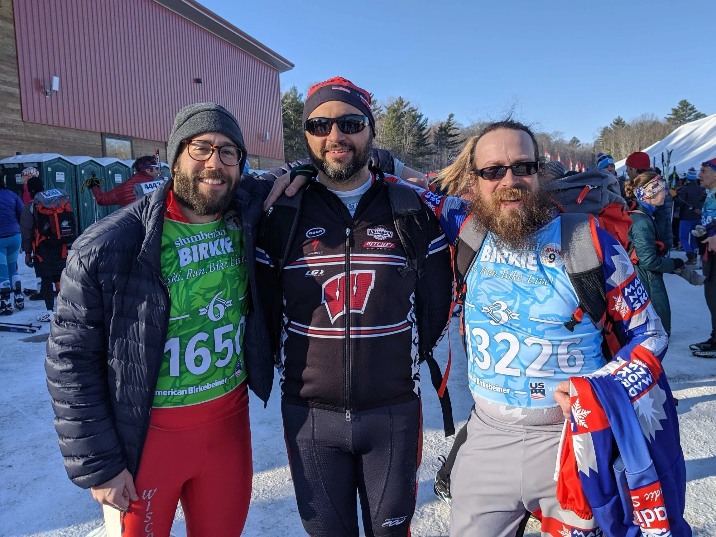
I’ve never done a real race, in any sport. Maybe it was the swagger of completing a thru-hike or the lubrication from a couple of beers (probably both) but when a conversation with my ski racing friends turned to the 55km American Birkebeiner the next thing I knew I had signed up. 

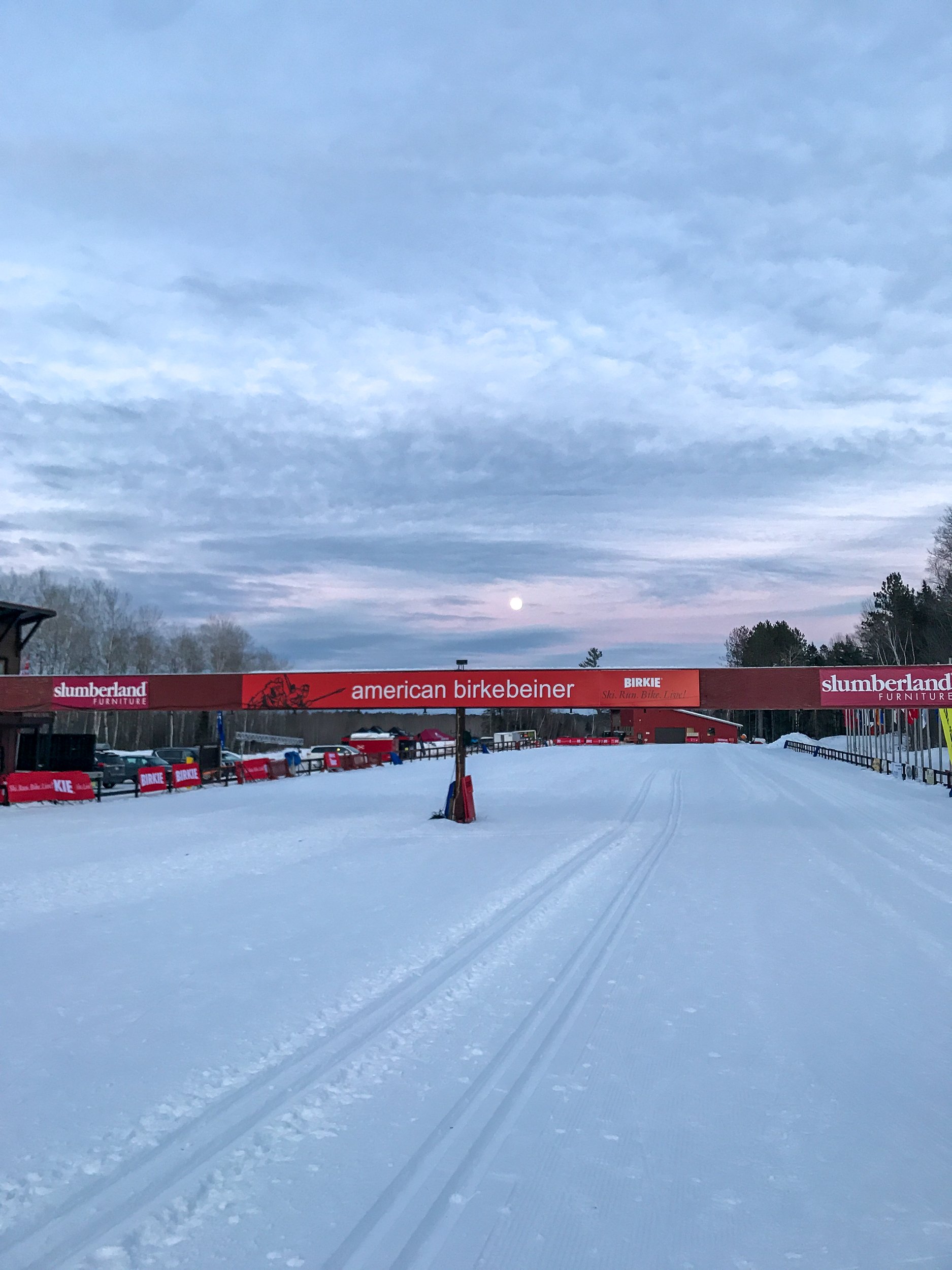
The Birkie race is based on the story of the Birkebeiners, a faction during the Norwegian civil war in the 1200s. Clad in birch bark leggings, two skiers smuggled 2-year-old Prince Haakon to safety through rugged mountains, forests, and blizzarding weather. The legend is the inspiration for the American Birkebiner race which stretches from Cable, WI to Hayward, WI.

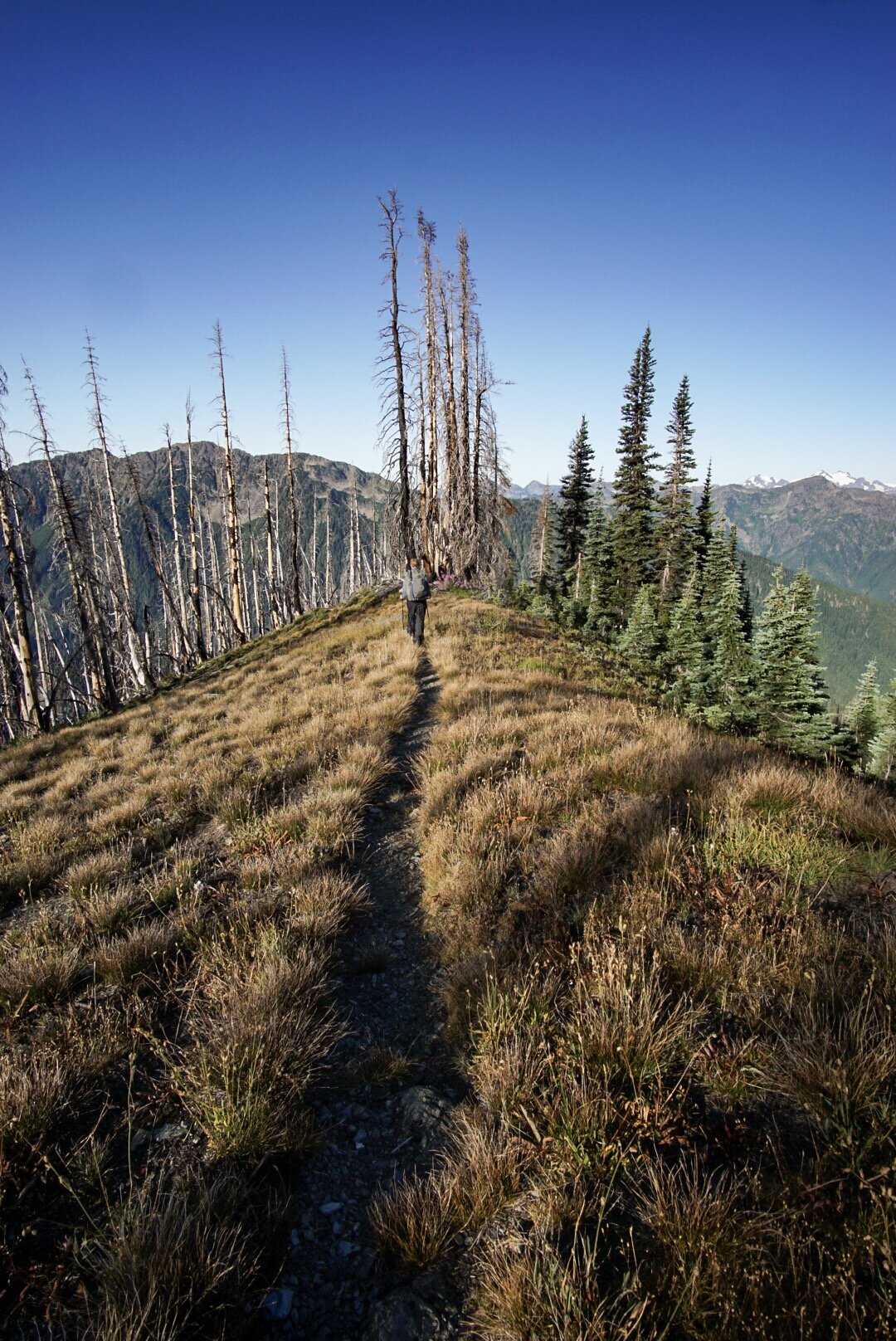
My “training” strategy for the race was just to ski as much as possible. Easier said than done. We don’t get any snow in Madison until early January, giving me about 7 weeks to train for a brutal race in a sport I did not feel very confident in. 

A few weeks before the race, I got a job filming an event on the Birkie course. Between filming, I was able to try out different skis. To no great surprise, my second-hand skis were not very good. So I ordered new skis, which arrived 2 days before the race.

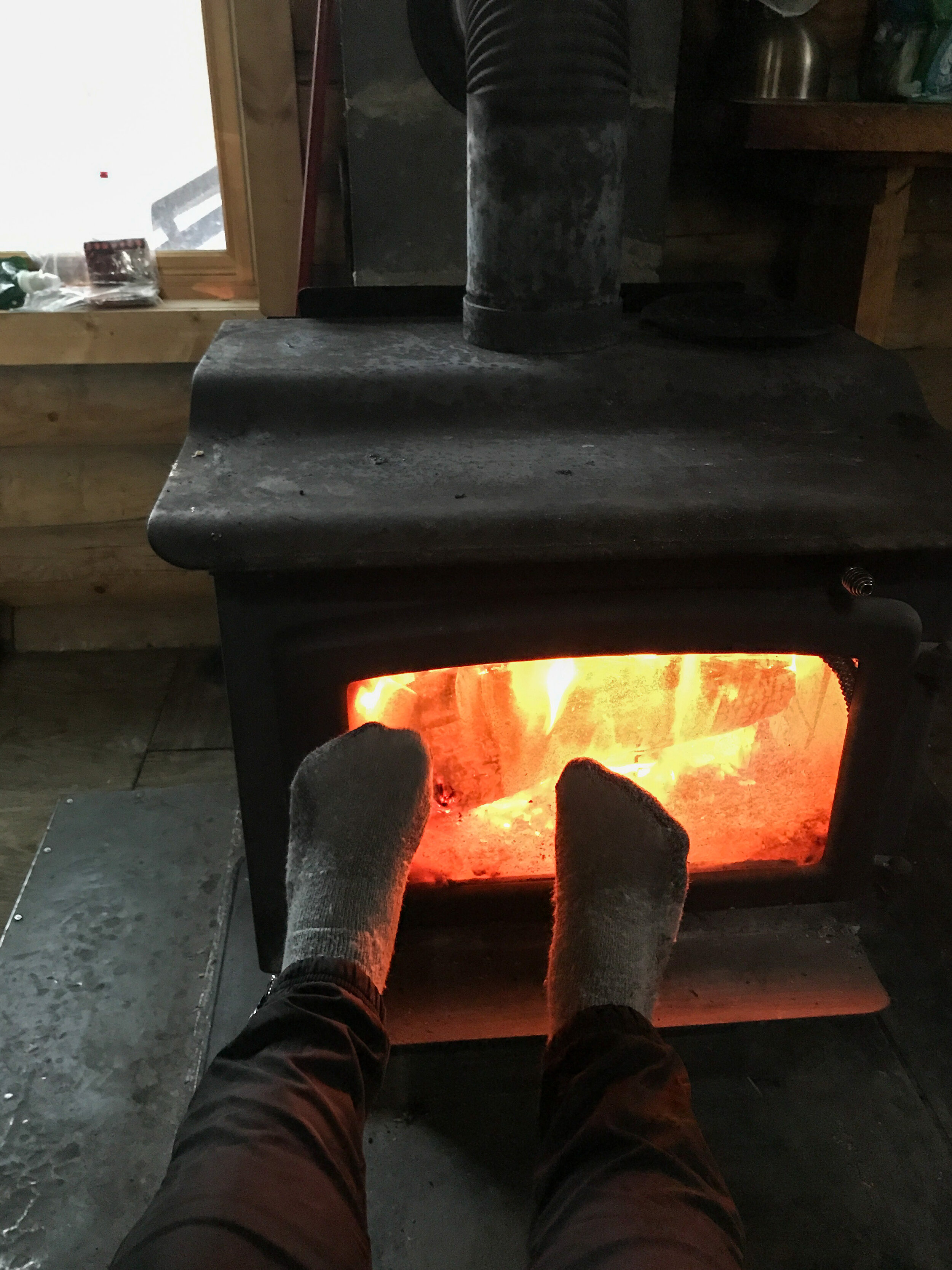
The night before we spent waxing our skis. And I even slept ok. 

At the starting line it’s not quite chaos but pretty damn close. There’s a warming shelter, sponsor tents, and some haphazardly placed signs on where to go. My friend’s waves start off before me and I’m left alone with giddy and terrified emotions. 

The gun goes off and we’re away. I’ve never skied around this many people before. It’s a bit of a traffic jam. Not great for a guy who hasn’t mastered stopping. And damn these new skis are FAST. I fall a few times while getting the hang of them. 

Just after the first checkpoint another skier is splayed across my track. They try to get out of the way but end up making it worse. I fly into soft snow and so do my glasses. I manage to find them and get back up.

I don’t get the hang of how to stop and grab water and snacks. Plus I’m towards the end of the pack and they are starting to run out. By the time I reach OO checkpoint, just under halfway, I’m exhausted and need calories and water. I take off my skis and eat about dozen cookies. I walk around to loosen up. 

A race official comes up to me and asks if I’m quitting the race. I must look like shit. I hadn’t considered quitting, but something about being asked flips a switch in me. Hell no I’m not done. I destroy a cliff bar and hit the trail.

After that I’m in the zone. I start ripping down hills and blasting back up them. I’m passing earlier waves now. Bitch Hill is my bitch. At some point I drink pickle juice. The snow is starting to get soft which is making this so much harder. I descend to Lake Hayward. Nice and flat for 4km. I can do flat. I grab a shot of Jägermeister from a spectator and down it without breaking my stride.   

The lake seems impossibly long but it eventually ends. I’m exhausted. Now just up and over the bridge and down Main Street. My biggest fear the last few days has been falling in front of everyone. My wobbly legs manage to hold and I make it down the street to the finish line. A volunteer throws a medal over neck. My time of 05h 50m 11s isn’t going to impress anyone, but I achieved my goal. I finished!

McKeever Cabin

I’ve been feeling a little stuck in Madison this winter. I’ve been doing a lot of cross country skiing since I (foolishly?) signed up for the 55km Birkie ski race, but I’ve been lacking in backcountry adventures.

Luckily, my uncle suggested we try the McKeever cabin in the UP. It’s only a 1.33 miles snowshoe back to the cabin but it’s a great cure for my backcountry craving. Wide open skies, freshly groomed trails, toasty fires and backcountry bloodies, it’s even better than I expected.

McKeever.jpg

I wasn’t sure what to expect on the ski front, it says groomed on the website but you just never know. Turns out they were excellent! They are groomed approx. once a week. We were lucky enough to have that day fall on our first day there. Not a huge trail system but three nice loops kept me satisfied. The cabin is situated in the middle of them, which means a mid-ski stop for snacks and a bloody mary.

IMG_7165.JPG
IMG_7158.JPG
McKeever-3.jpg

The cabin itself is small, has four bunks and a nice woodburning stove. It’s similar to the ones in the Porcupine Mountains on the other side of the peninsula. The stove is either on full blast or not on so it’s a bit a of a trick getting it just right. The best is there is an old hand water pump that works in the winter. A huge bonus. No melting snow for water. We met a ranger who stopped by to test the water, which they do every month, and she confirmed it was safe to drink unfiltered.

IMG_7200.JPG

I also go to dust off the pulk I built for a Thanksgiving Hut trip a few years back. It was much easier to pull on the mostly level trail vs up the side of a mountain in Colorado. Shocking.

IMG_7162.JPG
IMG_7142.JPG

I credit my uncle for inspiring my love of the outdoors, especially backcountry pursuits. He taught me many skills but also to not to take it too seriously. And never, ever, skimp on food. For this trip we had bloodies, ribs and a smorgasbord of other delights. On past trips we’ve had backcountry surf & turf and tacos. It’s always great to get out there with him (and my cousin!). He’s 68 and still crushing it. Champion.

IMG_7197.JPG
McKeever-2.jpg

5 Surprising Things from a First Time Thru-hiker

A version of this post appears on The Trek, which you can read here

It’s been two months since I finished the PNT and already it’s fading in the rear view. It seems like a million years ago.

LRG_DSC02174.jpeg

Before I set out on the PNT I crammed all my possessions into boxes, moved them across the country and into storage. Post trail my days were occupied unpacking and reconnecting with old friends. This didn’t allow a lot of time for reflection for the first month. But then the boxes were unpacked and the social calendar eased. “Normal” life resumed and I’ve had more time to reflect on the hike.

There is so much I could write about (and will, someday…) it’s hard to know where to start. For now I’ll start with five things that surprised me about thru-hiking.

DSC03242.jpeg

1. How fast my body adapted (and zero blisters!)

I really didn’t know what to expect for how my body would adapt to life on the trail. I figured the first week or two would be ok but what would hiking 1,200 miles do to me? I wasn’t out of shape but I wasn’t in awesome shape. Before starting the trail I did maybe two long training hikes. Coming from Colorado I was more acclimatized to the elevations than other hikers, so that was something.

Turns out my body adapted pretty quickly to life on the trail. It was hard, really hard at times but for the most part I kept feeling stronger and stronger the longer I hiked. The biggest health concern was a case of shin splints around mile 350. Luckily another hiker showed me some KT tape tricks and that fixed it without having to take time off. I had zero blisters, that blows my mind.

The only other physical ailment was a dumb move on my part: falling over retrieving my food, bruising my ribs. I happened to do that the morning before I came down with food poisoning. I’ll spare details but lets just say vomiting with bruised ribs = not fun.

DSC03281.jpeg

2. How small wilderness corridors really are

When backpacking the goal of my trips is to leave the trailhead and not see civilization until I return 6-7 days later. This means concocting loop routes that avoid leaving the wilderness. To thru-hike the PNT I walked across, not within, wilderness areas. Because of this I was seeing signs of human impact (forest roads, trailheads, towns) more often than I expected. There was one 5 day stretch in the Pasayten Wilderness but otherwise we never went more than 2-3 days without being on a forest road or crossing a highway with the opportunity to go into a town.

However this isn’t to say the PNT isn’t remote, it definitely is. The chances of getting a hitch on many of those roads are slim. Outside of the National Parks we very rarely saw other hikers on the trails. Most nights we camped alone. There are bushwack sections and alts that no one would find you on if you got lost.

To me it served as a wake up call that untouched wilderness is rare. We need to be doing what we can to ensure that we protect more and keep what we have from being exploited.

DSC04116.jpeg

3. Hitch-hiking

I assumed that connecting your steps was part of the rite of passage. Sure you can hitch to and from towns but the trail – be it trail, road or cross-country – was supposed to be walked. My informal poll of hikers was about 50% hitched trail and 50% didn’t. At first watching others drive by while I was sweating it out on the roads got to me but then it became a running joke that maybe we were the crazy ones braving the highway walks.

And this isn’t to pass judgement, HYOH, it just psyched me out more than I would have realized. Full disclosure: we did hitch trail two times, the sections recommenced by the guidebook for safety. Before starting the trail we agreed that we would hitch these sections and nothing else if at all possible. I’m proud we were able to stick to our guns.

DSC02989.jpeg

4. Strangers are really kind

I expected 25% of people to go out of their way for us and 75% to stare and hide their children from us. I’d say it was the reverse. At least 75% of the people we met were amazing, kind, caring folks. Very few of them had heard of the PNT but almost all of them offered us something: snacks, a place to pitch the tent, keys to their car, a hot tub. I’d like to say the trail angels on the PNT are the best but this being my first thru-hike I can’t make that claim (but they are the best!).

We did get called in to the authorities by a passerby so it wasn’t all roses but even that turned out to be a memorable part of the journey.

DSC02885.jpeg

5. Guthook I love you, Guthook I hate you

Guthook is an awesome resource. It also kinda ruins the surprise of adventure. The user comments are great but I felt like we knew every hiccup before we got to it. It’s a double edged sword. Do I want to know about that taco truck at mile at 978.1 and plan my day around getting there before it closes? Or do I want to not know and just lose my goddamn mind with joy when I stumble across it (or sob uncontrollably if I got there after it closed)?

At times it can breed a false sense of security. As a less hiked and largely unmarked trail, there were times it was way off of the PNT. Common sense would have you not walk through the brambles and go 100 yards down to the road to the obvious trail. But the pull of the red line is real. I think in the future I’d prefer a simple GPS track for confidence, and to live the rest of the journey in the moment. But I’d also never forgive myself if I missed a taco truck 🙂

LRG_DSC01861.jpeg

Ice Age Trail (IAT) - Mecan River Segment

No one is going to confuse the rolling hills of Wisconsin as the more prominent peaks of the western states but there is a quiet subdued beauty here that is often overlooked. 

A bit over an hour from Madison is the Mecan section of the Ice Age National Scenic Trail. On an overcast late fall day it provides a nice hike through forest and open oak savanna.

2019-11 Mecan River-7.jpg

We start at the 6th Lane/Chicago Road trailhead and head south east. There is a surprising amount of snow in the forested section here. With the leaves gone we also get occasional views down to the river. 

2019-11 Mecan River-3.jpg

The trail then opens up into the oak savanna. I love the way oaks sprawl their limbs out from their trunks creating a canopy over of the trail. This would be a lovely spot on a warm summer day. 

2019-11 Mecan River-5.jpg
2019-11 Mecan River-8.jpg

When we reach the parking area on 9th Ave. we turn around and come back the way we came to the car for a total of about 7.5 miles. 

2019-11 Mecan River-4.jpg

I certainly am still coming to terms with the terrain of Wisconsin after living in Colorado and spending the summer hiking through the Pacific Northwest. But secret hikes like this help to ease the transition. 

If you go:

Mecan River TH

Map: Caltopo / Gaia

IAT Guidebook Sample

Ice Age Trail Alliance

The End – Wild, Wet, Windswept Olympic Coast

A version of this post appears on The Trek, which you can read here

The coastal section through the Olympic National Park starts, as many PNT sections do, with a 22-mile walk through forest roads. We walk it as fast as possible, knowing it’ll be our last day of roadwalking. Whoo hoo! Near the end of the day the road joins the Ho River. After a little while we hear a faint crashing noise. Waves from the ocean? A mile or so later we pop out from the forest and get our first wide view of the Pacific Ocean. We made it!

After 70 days walking up and down mountains the coast section feels like a totally different trip. The expansive ocean stays to our left, tide pools and beach line the path forward. Our hiking is dictated by the pull of the tides. We also are tapering our mileage, taking four days to walk the last 38 miles.

DSC04279.JPG

Another difference: a group of seven thru-hikers all started out of Forks on the same day with the same idea. We end up meeting most days to wait out the midday high tide and camp around a beach bonfire at night. Since Glacier National Park we’ve only camped with other thru-hikers a handful of times. For the most part I’ve enjoyed the solitude but having other hikers around at the end is exciting and makes us realize how epic of a journey this has been. It’s hard to know for sure but likely 50 people or less will complete the PNT this season. It’s a rare treat to share our experiences with other PNT class of 2019ers.

DSC04152.JPG

The first two days end up being gorgeous weather, warm with clear skies and calm seas. There are fun (and slightly sketchy) overland ropes to pull ourselves up and over rocky headlands. We even found whale bones!

DSC04136.JPG

On the third day we wake to an overcast brooding sky. Rain is definitely on the way. We manage to make it over slippery rocks and across a large section of beach by 10 a.m., just before the rain starts. We set up our tent and build a fire to stay dry as the rain keeps coming. And coming. The other PNTers also stop to wait out the rain. It ends up raining straight from 10:30 a.m. to 7 p.m., and everyone decides to camp. We’re less than ten miles to the end and have had our shortest day of hiking! It’s hard not to go stir crazy in the tent.

DSC04314.JPG

The next day, our last day, we wake up early. The rain is holding off so we move out of camp ASAP. An hour later we see other hikers coming up behind us. It’s a group of five other thru-hikers who have caught up to us! There will be 12 of us finishing today; it’s possible that’s a PNT record.

DSC04295.JPG

The gray skies remain but the rain holds off until just as we are finishing at Cape Alava, the western-most point of the Lower 48. We did it! We are exhausted! We are excited! We are thru-hikers! The end of the trail is fitting for the PNT. No sign, no blaze. The beach continues northward. Day hikers and backpackers gives us quizzed, confused looks as we celebrate the end of a 1,200-mile, 74-day journey.

IMG_5252.JPG

Epic Olympics – PNT Section 9

A version of this post appears on The Trek, which you can read here

It’s hard to know where to start to describe our section through the Olympic Mountains. It was vast, dynamic, tough, rugged. We went from mountain passes to river bottoms. We saw salmon swimming in creeks and bathed in hot springs. We were in popular alpine meadows and remote, unmaintained temperate rainforests. We had some of our best views and toughest climbs. We saw hundreds of slugs and ten bears. It was my favorite section and it was physically the hardest section. It. Was. Epic.

We started from Discovery Bay, setting off from the trail angel Greg’s place in the morning. The original route of the PNT runs right through his property (the primary now goes south on hwy 101).

To the best of Greg’s knowledge Ron Strickland, the creator of the PNT, likely came to the property in the late 1970s when he was developing the trail and asked his father-in-law for hiker access. Greg still is excited to allow access rights and has even refurbished an old fish hatchery into a trail shelter for hikers. Amazing!

The first day we walk a combo of some lightly used forest roads and overgrown trail to get us to the start of the Gold Creek Trail. We watch salmon swim upstream as we make camp.

The next day we enter the Buckhorn Wilderness, crest our first pass of the Olympics, and end the day just outside the national park boundary.

DSC03880.JPG

Day three begins with a climb and a ridge walk before descending to the Dosewallips River. The views are awesome from the pass. Clear blue sky in every direction!

DSC03735.JPG

Another day–surprise, surprise—a stunning pass with crystal clear views and gorgeous trail. After the pass we descend to the Elwha River and spend the rest of the day walking along it. It’s beautiful trail, the river is turquoise blue, and the mossy trees occasionally open to big, grassy campsites. I even find an unopened Clif Bar at the Elkhorn ranger station! Thanks, random hiker!

DSC03940.JPG
DSC03899.JPG

Day five takes us around a closed road and up to the Olympic hot springs. It’s a weird, post-apocalyptic vibe walking the old road. The signage looks new and the solar-powered audio displays still work. The hot springs are a great midafternoon soak spot. Reluctantly we leave to climb 3,000 feet to Appleton Pass. The camp spot is totally worth it and we are treated to a great sunset.

DSC03945.JPG
DSC03972.JPG

Day six. Seven Lakes Basin day. The views are insane. Alpine lakes, Mount Olympus, and many frantically foraging bears. Also many other hikers. We even meet a 2008 PNT hiker! The weather is the same as the last five days—clear blue skies in every direction. We end the day by entering the unmaintained Bogachiel River Valley. It’s a quiet contrast from the Seven Lakes Basin.

DSC04013.JPG

Day seven. We’ve been warned by other hikers and the rangers that the Bogachiel can be an epic slog over wet rocks, blowdowns, overgrown trail, and “holes with god knows what living in them” (official quote from a park ranger). None of those reports are wrong but they are wildly overblown. We love walking down the remote valley and navigating over the fallen trees and through the bushes.

DSC04098.JPG

The trail ends at a trailhead and a it’s a few mile walk to the Bogachiel State Park. The park has bike/hike in sites and (most importantly) the local pizza joint delivers pizza TO YOUR SITE. A perfect end to a week cutting straight through the Olympics.

DSC04089.JPG

Puget Pig Out

A version of this post appears on The Trek, which you can read here

After over two weeks through wilderness, national parks, and battling a stomach bug we are pumped to be walking the Puget Sound section of the PNT. It runs down Fidalgo Island and Whidbey Island just a few hours north of Seattle and passes through numerous small towns. As in, numerous opportunities to eat food. Hot, delicious not freeze dried food.

IMG_4354.JPG

It involves a lot of road walking but I don’t even care. I’m eating at all the spots the road takes me past. Big breakfast with bottomless coffee? Check.

Lunch at the brew pub a few hours later? Done.

IMG_4353.JPG

Strawberry shortcake afternoon stop? Oh, hell yes!

Oh, and a taco truck? No problem, the PNT has that covered too. But food aside this section gets us to saltwater for the first time.

DSC03630.JPG

The last month or so has become routine. Hike, eat, sleep, repeat. Until now I kind of lost sight of the big picture. Seeing the tidal flats and smelling the salt it all hit me at once: we walked here from Montana. Whoa.

It’s also bittersweet. We have a ways left to go, but our journey will come to an end faster than we realize. Boarding the ferry to the Olympic Peninsula feels like the beginning of the end.

DSC03674.JPG

But of course, before we get on the ferry we make sure to eat two sandwiches and a pint of gelato.

Three Times the PNT Tries (and Fails) to Kill Us

A version of this post appears on The Trek, which you can read here

After nine amazing days getting through the Pasayten Wilderness, the section through the Cascade Mountains starts with equal promise: A trail zero on the sunny, sandy shores of Ross Lake, a walk through giant old growth cedars, and good trail over a couple of great passes. Yep, things are looking great.

DSC03318.JPG
DSC03416.JPG

But then in the middle of the night at Hannegan Pass a sickness begins. Nasty stomach bug sort of sickness. Not good. The next morning Kate isn’t feeling any better. Luckily we are close to the trailhead and some other campers give us a ride out to Glacier, WA. After 24 hours of rest we are back on the trail. We hike down the Lake Ann and Swift Creek trail and camp near hot springs. Amazing.

DSC03483.JPG

Then the next day we slam out a big day around a misty, beautiful Baker Lake and get some great views of Mount Baker. We camp on an old roadbed just miles from Concrete, WA, and plan on an easy walk to town, a motel bed and food and beers and… or would we?

DSC03498.JPG

The next morning, in the dim dawn light, I go to retrieve our URSAKs from a nearby tree. They’re up a steep embankment near the road edge. Heading back down the embankment (thinking of coffee) I take one step, two steps, thr- now tumbling downhill I land on my chest near the road edge. Guess that walk to town is going to be a little less fun with these bruised ribs 🙁

But that’s cool. I can deal. We’ll be in a hotel room tonight so no worries. I get my pizza, I get my beer, I get a “loggerdog” (see below) and get ready to sleep. Will be good to go tomorrow.

img_4267.jpg

Around 9 p.m. I think, “My stomach feels kinda funny.” I can’t possibly have the crippling stomach bug Kate did a few days ago. It’s not like we’re in constant contact sharing water bottles, spoons, eating containers or anything.

9:17 p.m. I have the same stomach bug Kate had. Better write off tomorrow as a zero and get ready to watch crappy movies on TV cause as much as I want to get back on the trail that’s not really happening.

So the six days we wanted to take to Concrete have turned to eight. But fear not, we are back on the trail and (mostly) back to health. Nice try PNT, but you can’t hold us down!

The Mighty, Magnificent and Remote Pasayten Wilderness

A version of this post appears on The Trek, which you can read here

A crack of thunder and a bolt of lightning is how we started our section in the Pasayten Wilderness. Minutes after arriving at the Cold Springs campground the sky opened up and hail started dropping at a fevered pace. Five of us thru-hikers huddled under the shelter of the campground’s privy, each muttering a silent prayer that our tents would hold up to the onslaught.

DSC02831.JPG

To get to Cold Springs we had a daunting, treeless 25 miles of paved road to walk. Luckily, it was cloudy for most of those miles. But almost as if on cue the sun came out for our 5,000-foot ascent on the barren Chopka Grade Road. So a few hours later when the temps dropped 20 degrees and hail started falling I wasn’t even mad. In fact it felt awesome; we had finally entered the Pasayten.

DSC03232.JPG
DSC03057.JPG

The next day the temps hovered in the low 50s. A few miles from camp the views started to open and the vastness of the wilderness in front of us became clear. I particularly enjoyed the slow build of the geography in this section. At first the mountains are smaller and tree lined. By the end they are glacier capped giants.

DSC02990.JPG
DSC02926.JPG

Unfortunately, a large section of this wilderness has been burned by wildfires in the last few years, but luckily the PNT trail crews have been hard at work clearing many of those blowdowns.

DSC03062.JPG
DSC03000.JPG

That’s not to say the trail is clear by any means (this is the PNT). One section of trail had an epic “jungle gym” of blowdowns. I had quite a bit of fun crawling, hurtling, and falling over and under them. Honestly, this kind of stuff is why I love this trail. River crossings, route finding, and cross-country traversing are my favorite things about backcountry travel.

DSC03083.JPG

The worst blowdown section came a few miles before the PNT briefly overlaps with the PCT. We joked as we hopped over fallen trees and tried to find whatever was left of the trail that the PCT would have the best tread, the flattest campsites and James Beard nominated chefs as trail angels. Turns out the first two are true (sadly the chefs must only donate their time on the weekends).

DSC03131.JPG

It was a bit of a culture shock to be on such a busy trail. There were other hikers in our camp! Outrageous. In the 45 days we’ve been on the PNT we’ve met 19 other thru-hikers. In the half day we were on the PCT we met 32 PCTers. The giddy excitement in their eyes being only a few miles from the Canadian border both pumped us up and made us realize we still have a long way to go in our journey.

DSC03242.JPG

We said goodbye to the PCT and resumed our trek jumping blowdowns, searching for trail, and taking in jaw-dropping views all by ourselves.

DSC03068.JPG

The Trail Turns Hot, Then it Turns Hotter

A version of this post appears on The Trek, which you can read here

“The heat in the summer is 110. Too hot for the devil, too hot for men.” -Johnny Cash

According to locals yesterday the temp did reach 110 in Oroville. When we walked into town today it cooled a bit, hovering around 100. Joy.

public.jpeg

Eleven days and seemingly a lifetime ago we started out of Northport, WA, in section four of the Pacific Northwest Trail. Already at that point we knew heat would be the name of the game for the next two weeks. Early starts and siestas were in, the damp cold rain of the first three weeks of our hike were out.

DSC02691.JPG

On top of the heat out of Northport we faced a daunting 40ish miles of road walking to start the section. Most of these are forest roads. Lightly traveled and fairly shaded.

When we got to the start of the trail we were greeted with a nice stretch of blowdowns (yay) and a burned area.

DSC02651.JPG

It was about this time that the road walking and the heat were starting to play tricks on our minds when we read a passage from Tim Youngblueth’s PNT guidebook that deviously mentioned that at this point “one could walk from here into Republic in about 15 miles. But our trail continues southward.” Of course at this point I couldn’t help but think of the glories of town: AC, sheets, pizza, cold beers. How many thru-hikers have followed the Sirens’ call down that road? A few miles and much climbing later I envisioned all the thru-hikers enjoying said comforts. Curse you, Tim! Then I saw some bootprints and realized it’s just the heat (probably).

public.jpeg

Oh, and water? Yeah, this is how we get it. Gone are the running streams; now we get to share water out of cattle troughs and (sometimes) flowing springs.

However, as Tim foreshadowed, soon after the trail did get better. Wildflowers, ridge walking, and views.

DSC02681.JPG

Then a canyon to walk as we rounded out the south side of the loop around Republic.

DSC02733.JPG

Republic itself is a real treat of a town. Everything within a few blocks, great pizza, great brewery, and the local trail angel is the postmaster (ie, you can get packages on the weekend if you ask nice).

14250f18-30d6-4528-b723-bca7678f54c8.jpg

After Republic we entered section five and the trees became more sparse and the temps got even hotter. We’re talking near 100.

DSC02765.JPG

An epic climb up Bonaparte Mountain led us to the only manned lookout tower on the PNT.

public.jpeg

Shortly afterward we got to the Havillah church that welcomes hikers. We got to use the kitchen for cooking and there was a fridge stocked with food for us. Most importantly, it offered shade from the relentless sun.

DSC02802.JPG

The last morning as we dropped down in elevation to get to Oroville the sun beat down and the air was full of smoke from a fire in Canada. But we were greeted by the friendliest hotel on the PNT!

img_3349-e1565353138718-700x933.jpg

One more long, hot road walk to go and then the cooler temps and views of the Pasayten Wilderness await.