Ice Age Trail (IAT) - Merrimac Segment

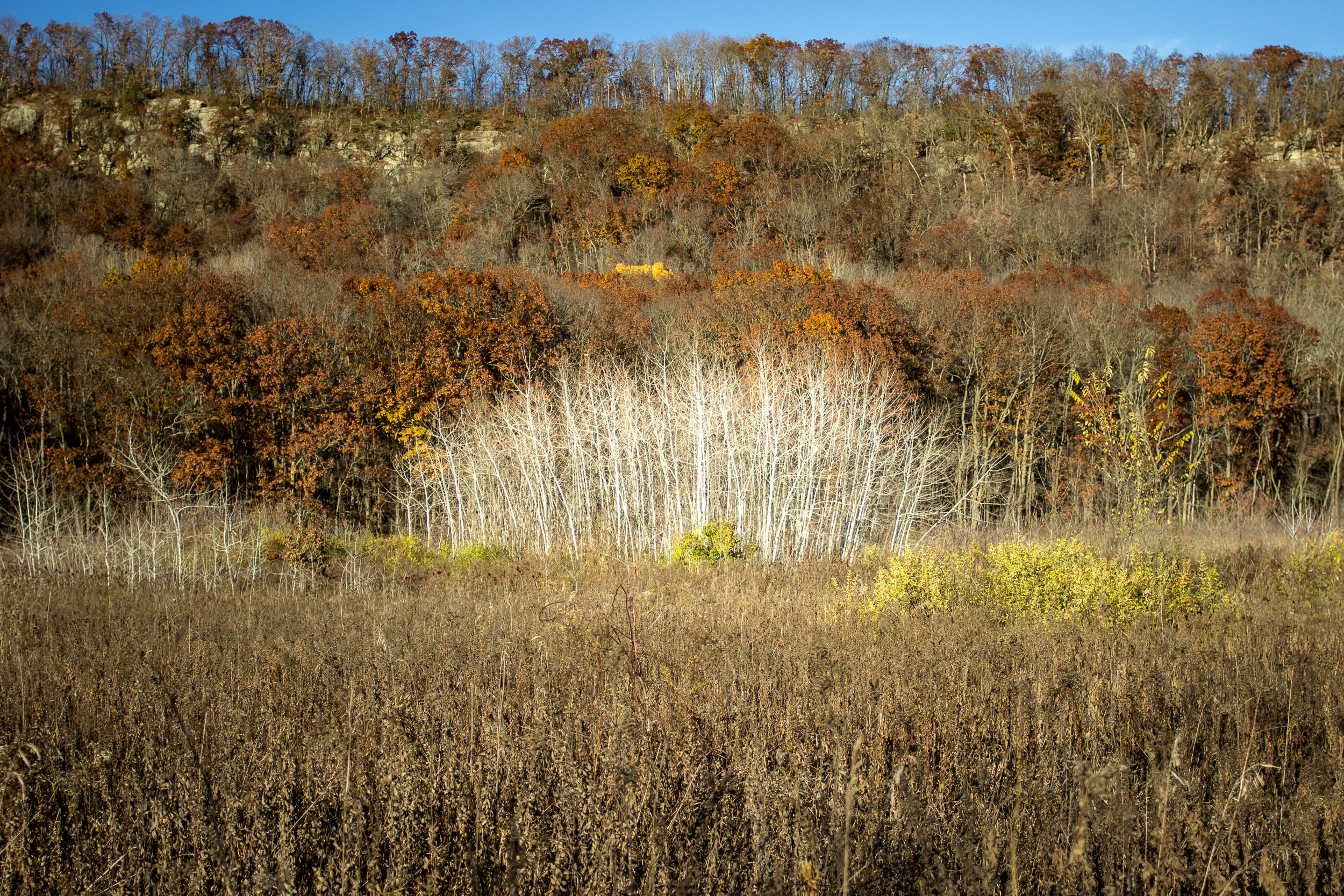
On the border of Devil’s Lake State Park sits a quiet section of the Ice Age Trail in the Merrimac Preserve. This section is 3.5 miles each way through oak savannah with views of the Baraboo Bluffs in the distance. In total, the Merrimac Preserve has ~10 miles of trail giving you many loop options. The few people and wide trails make this a favorite of mine for trail running.

Today I did an out and back parking at the IAT Merrimac Trailhead with my turnaround point at the IAT Roznos Meadows Trailhead. The Merrimac TH is almost always a better parking option. It’s less crowded and you don’t need a state park sticker.

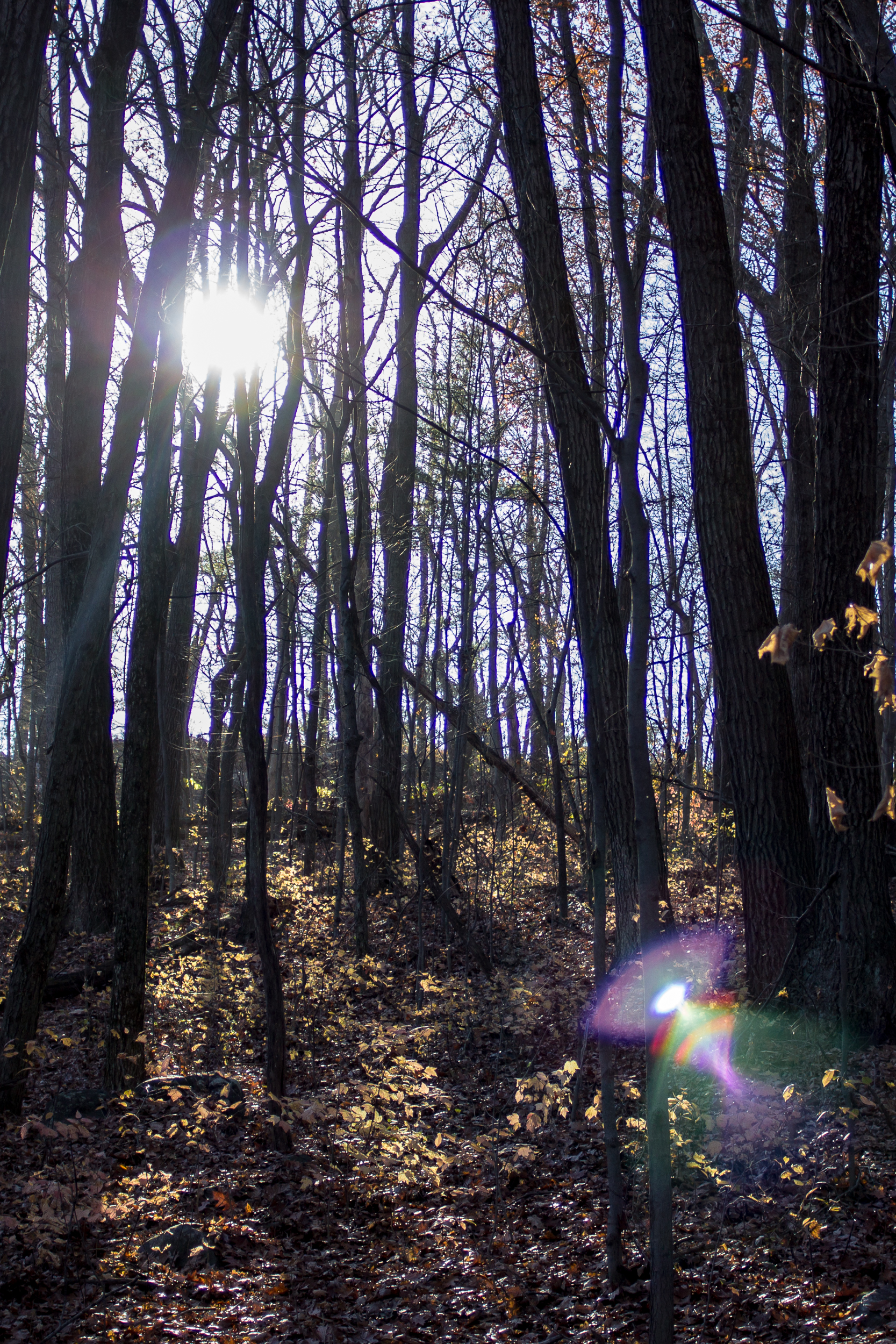
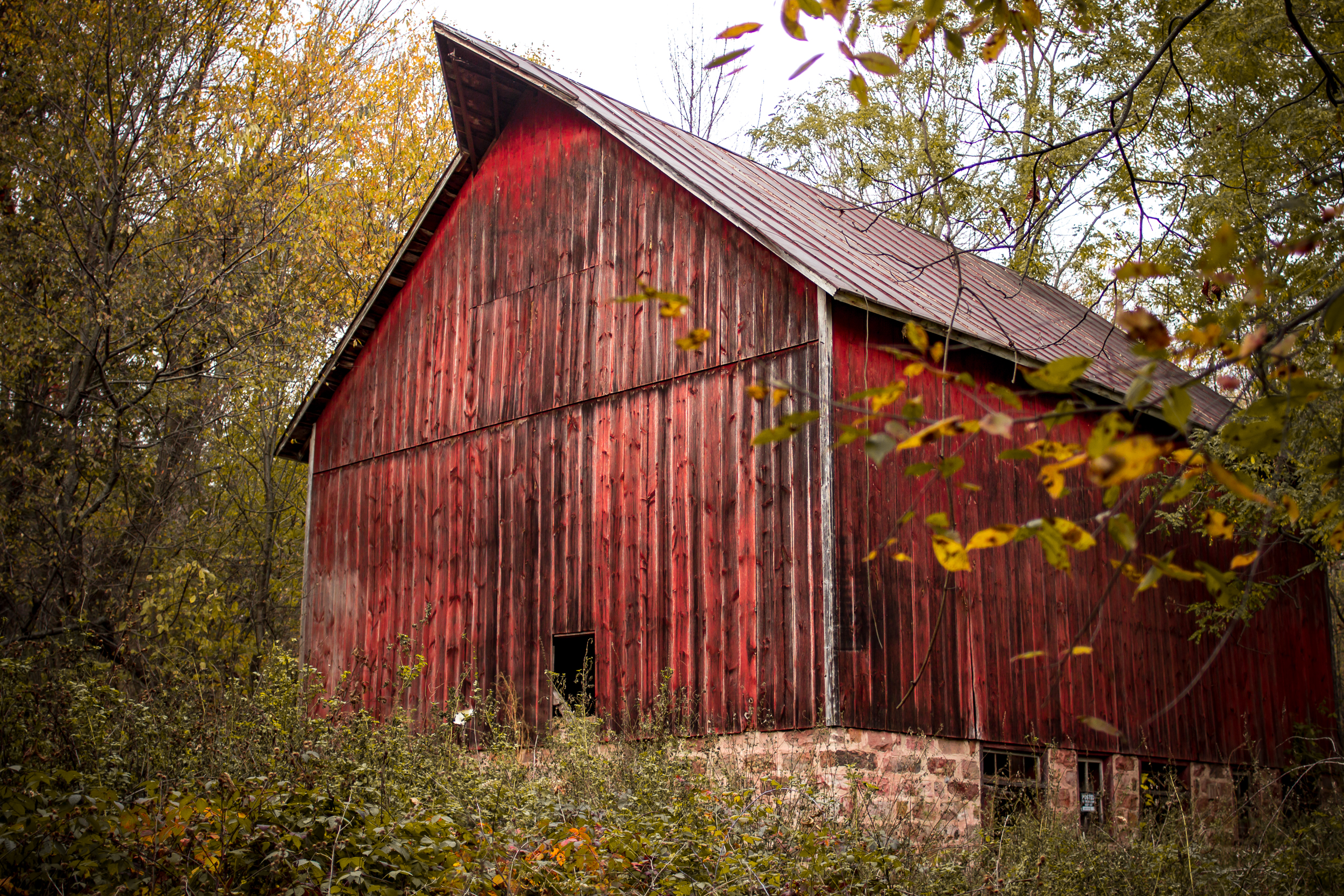
For the first of November, the weather is surprisingly warm and sunny. The hike begins by walking through thick oak and hickory forest. After 1.5 miles you pop out into a meadow and cross a road getting good views of the bluffs. A bit past the trail junction, there is a warming hut for snowshoe and cross-country skiers. 

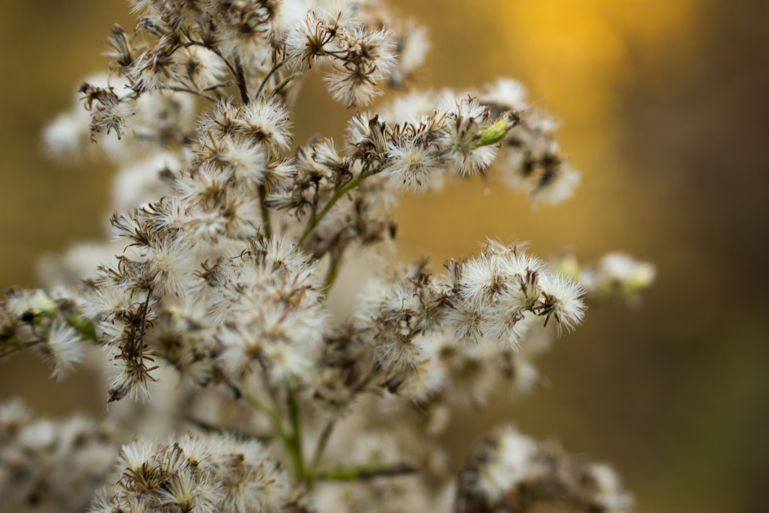
The rest of the trail is more open, with a boardwalk crossing a swamp and then back into the oak savannah. Roznos Meadows is surprisingly crowded today with cars parked along the shoulder of the road. The hikers must be heading into Devil’s Lake State Park because we’ve only seen a handful in the preserve. 

We turn around here and head back. Just before reaching the car, we are treated to a small garter snake sunning itself.  

Links:

Ice Age Trail - Devil's Lake Loop

I was feeling a little stir crazy and with an amazing weather day for November I decided to do my favorite section of the Ice Age Trail through the Baraboo Bluffs.

Blog 2016-11 DevilsLakeLoop-3635.jpg

There are a number of ways to make this a shorter loop within the park, but if you want to do the whole section of the IAT here’s how I did it.

You could walk the entire 15.5 miles starting (or ending) with a 2 mile road walk but what I chose to do was a bike shuttle. I parked at the Rozno’s Meadows Trailhead on HWY 113 and then biked the 2 miles to the Parfrey’s Glen Trailhead. It’s a mostly flat ride and the road is in good condition for the short bike (or walk if you choose).

Blog 2016-11 DevilsLakeLoop-3698.jpg

Once you get to Parfrey’s Glen there is good signage on what trail is the Sauk Point Trail (the Ice Age Trail) and what is the trail up the glen, a fun side trip or a trip for another day. This section of the trail is uphill and mostly wooded. Near the top the trail opens up with views of Lake Wisconsin to the south.

Blog 2016-11 DevilsLakeLoop-3625.jpg

Crossing 113 after 4.5 miles from Parfrey’s Glen you’ll now be in the main portion of Devil’s Lake State Park and there are many options to shorten or take different trails. To stay on the official IAT trail route bear right (NW) onto the Uplands Trail Loop. A little less than a mile later bear to the right again (N) onto the Johnson Moraine Loop.

Blog 2016-11 DevilsLakeLoop-3684.jpg

After 1.4 miles this trail enters a campground where it can be confusing to follow the trail itself. I always have issues figuring out if I’m supposed to be on a trail or a road here, but both lead to the same place and the trail becomes more clear near the amphitheater. From here it heads down to the north shore of the lake (and concessions!).

Blog 2016-11 DevilsLakeLoop-3657.jpg
Blog 2016-11 DevilsLakeLoop-3669.jpg

Head through the picnic area and onto the West Bluff Trail. This trail will give you the best views of the lake as you head up and along the ridge. There are lots of great areas for stopping for views or enjoying some lunch. Head down the the bluff and down to the southwest shore of the lake. At the boat launch there are bathrooms.

Blog 2016-11 DevilsLakeLoop-3627.jpg

From here to the south shore the walk is along a sidewalk at lake level. The south shore has concessions and many picnic areas for stopping at. Not a bad idea to take a little break here as the trail steeply ascends the east bluff next. Once on top of the bluff you’ll walk along the ridge getting view of Devil’s Lake at first and then southeast towards Lake Wisconsin.

Blog 2016-11 DevilsLakeLoop-3693.jpg

The trail starts to descend back into the forest and finally into Rozno’s meadows for the last 1.5 miles back to the trailhead where you started.

If you go:

Devil's Lake Loop

Growing up in Baraboo I’ve been to Devil’s Lake a lot. It’s a gem of southern Wisconsin. One of my favorite hikes is scaling both east and west bluffs and doing a loop of the lake. It’s about 6 miles, depending on which trails you take, and covers some of the more popular trails in the park. For Wisconsin the elevation gain of ~1,000ft is cool too… if you’re into that kind of thing.

Blog-DevilsLake-0318.jpg
Blog-DevilsLake-0333.jpg

We started at the south shore parking lot and headed up the Balanced Rock Trail. This one will get your heart pumping. At the top we headed down the East Bluff Trail and along the north shore beach area. Pro Tip: If the concession stand is open you can break the hike up with snacks (or beer!).

Blog-DevilsLake-0331.jpg
Blog-DevilsLake-0299.jpg

From here we headed up the West Bluff Trail to the highest point of the hike and then down along the lake back to the south shore. There is also a concession stand here, but, Pro Tip #2: save the money and go get your cooler out of the car and enjoy a beer/picnic on the lake, you earned it.

If you go: