Great Sand Dunes National Park

“Use the heater on the dash to warm up the turkey leftovers.” This is how our trip to Great Sand Dunes National Park started.

We had an unseasonably warm Thanksgiving weekend to get out and check out the dunes. The days are getting short, not much time left for hiking after a slow start and 4 hour drive from Boulder. Permits were easy to get, after talking with the ranger it seemed like we might be the only ones camping in the dunes tonight… Good sign? Bad sign? ¯\_(ツ)_/¯

BLOG-2017-12-02 GSDNP-09766.jpg

The basic backcountry instructions are to “go at least two ridges over from the visitor center, then camp wherever you want.” We took off from the parking area near the Medano Pass Road (which was closed) and hiked about 2 miles into the dunes before it started to get dark. The wind was intense but we managed to get the tent setup. I’m really glad we chose our heavier freestanding tent vs our Tarpent, which would have been near impossible to pitch in the dunes.

BLOG-2017-12-02 GSDNP-09665.jpg

Backpacking in the dunes is slow going, day 2 we made it a grand total of 5 miles. On top of the sand slowing us down we also were carrying all of our water for the day - there is no water in the dunes themselves and it was highly probable that we wouldn’t have water at the Aspen campsite either (there wasn’t).

BLOG-2017-12-02 GSDNP-09738.jpg

Early afternoon we exited the dunes and reached the Aspen campsite, aptly named as it is nestled in a grove of aspen trees with gorgeous views of the dunes and the mountains. It was much less windy here and with temps near 60 it was a great spot to lounge for the rest of the afternoon and enjoy the sunset.

BLOG-2017-12-02 GSDNP-1415.jpg
BLOG-2017-12-02 GSDNP-09815.jpg

We headed out early in the morning, using the last of our water to eat our breakfast and coffee. Little Medano Creek, our nearest water source, is about 1.75 miles from Aspen and we had a long break there refilling water and basking in the early morning sun. From here back to the car it’s about 5.5 miles and for the most part the sandy trail parallels the dunes. The last mile we chose walk on the 4WD road. The views were similar, just less sand.

BLOG-2017-12-02 GSDNP-09843.jpg

Wild Basin, Wild Weather

It’s 60 and sunny in Boulder today but we’re trading that for 20s and a winter storm. Amazing how a short drive into the mountains changes things so fast.

We parked at the Wild Basin trailhead in Rocky Mountain National Park. It was sleeting when we hit the trail and we were glad for the forest cover for the first couple miles. We passed Ouzel Falls about halfway to the lake, but it wasn’t flowing very fast. After the falls the trail opens up, and we got glances of the divide as the storm clouds moved in and out.

Blog 2017-11-05 OuzelLake-09650.jpg
Blog 2017-11-05 OuzelLake-09639.jpg

At the trail junction the Ouzel Lake trail splits off and heads up an exposed ridge. This was one of the best parts of the hike, the weather was raw: wind and snow blowing in our faces as we hiked to the lake. About halfway between the start of the ridge and the lake the trail gets some shelter from the mountains again and the weather died down a bit. After a junction the trail dips down into the trees near Ouzel Creek before reaching the lake.

Blog 2017-11-05 OuzelLake-09644.jpg

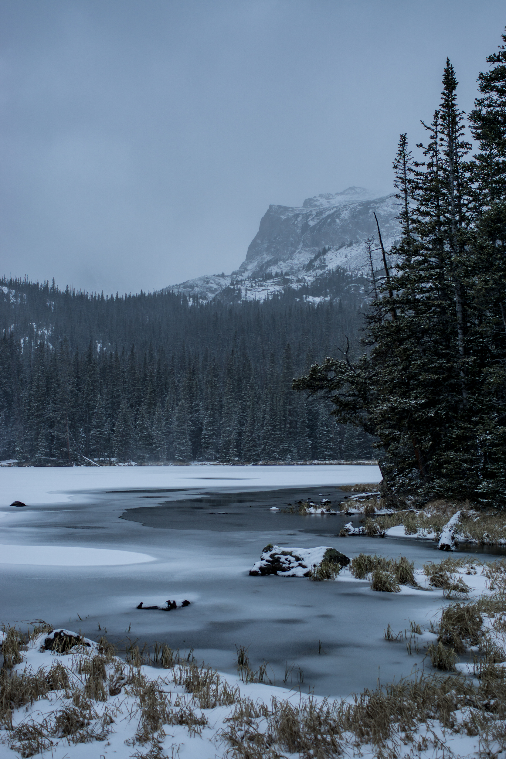
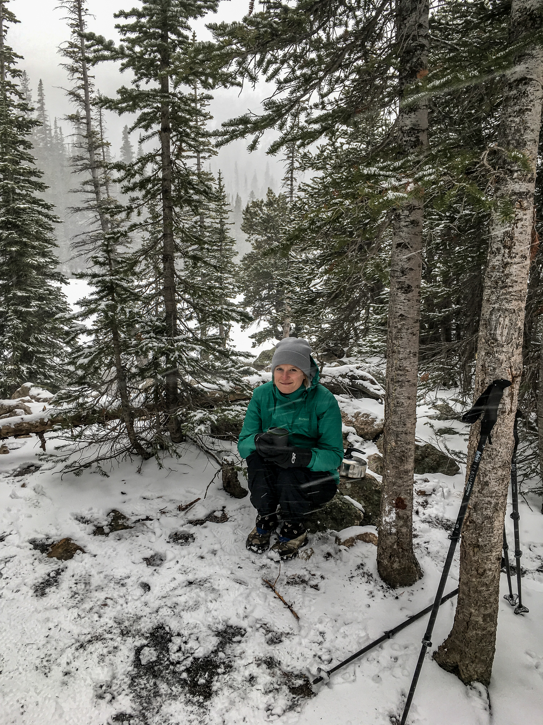
Ouzel Lake was beautiful in the snow, the wind came and went as did the snow. We managed to find a sheltered spot and pulled out the stove to make some warming hot chocolate and enjoy watching the winter weather move in an out.  

If you go:

Blog 2017-11-05 OuzelLake-1233.jpg

Easy Does It - Sugarloaf Mt Hike

Blog 2017-10 Sugarloaf Mt-1133.jpg

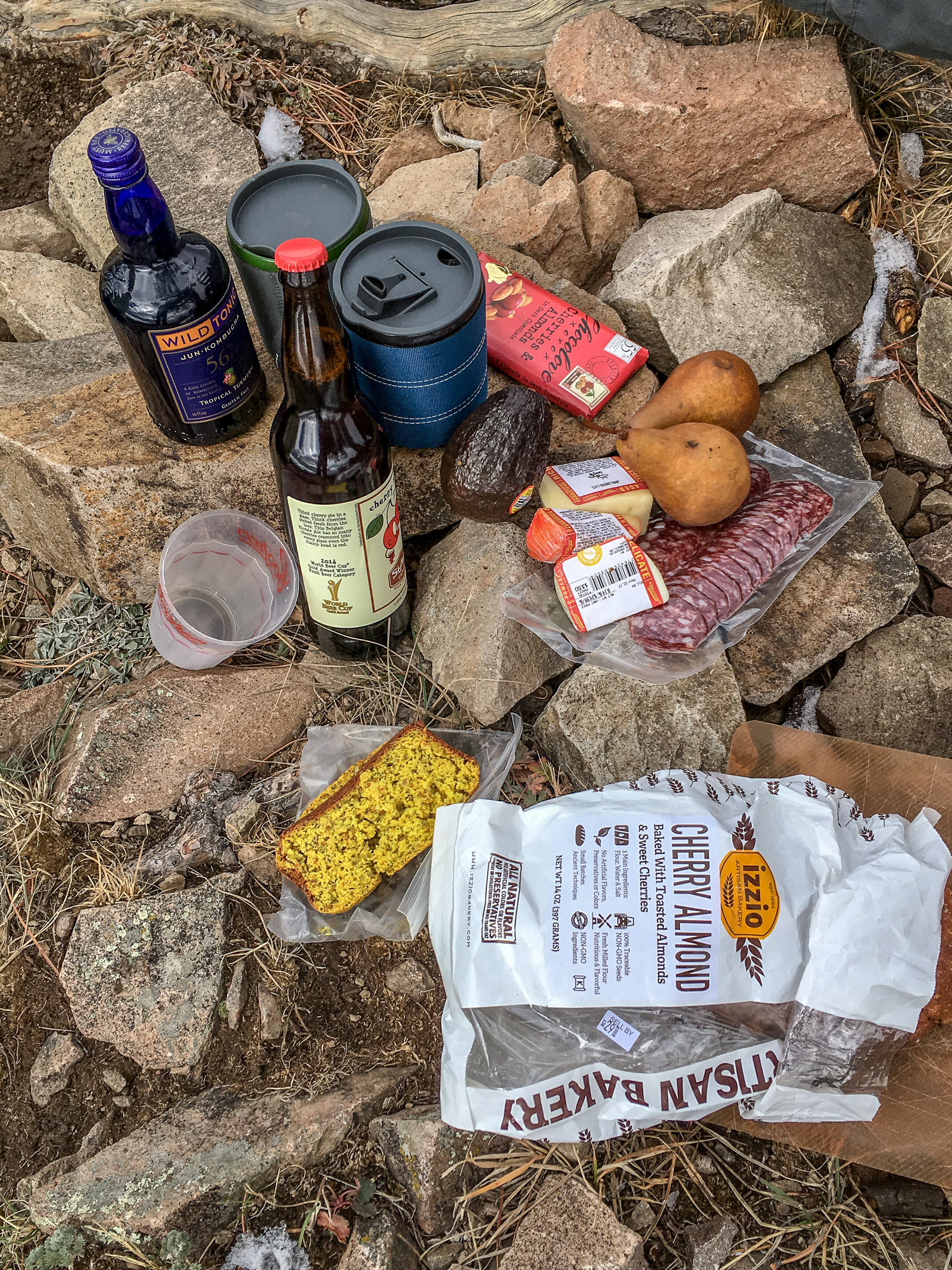
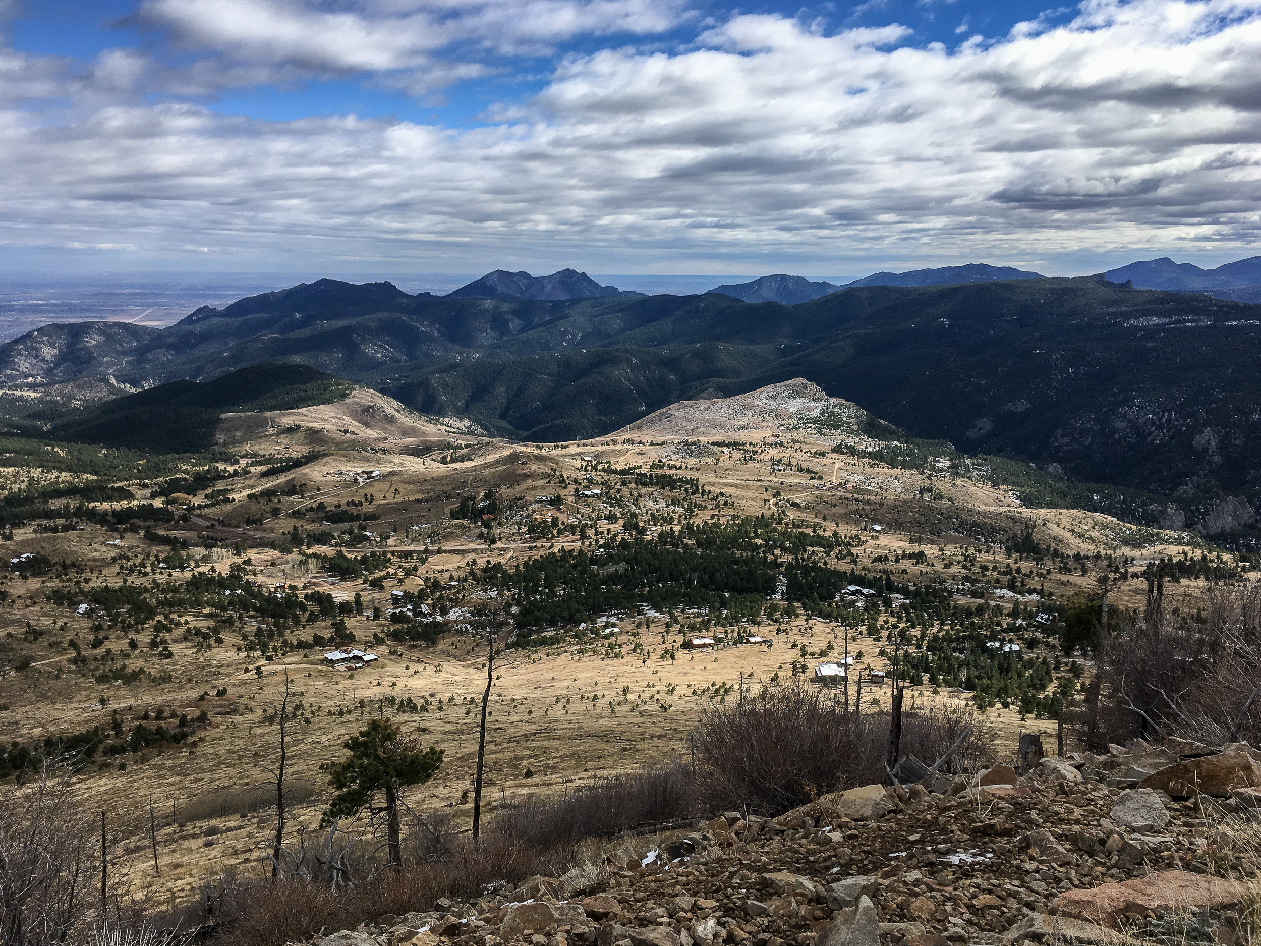
Sometimes you have to forgo distance and difficulty in favor of all the snacks. The hike up Sugarloaf Mountain just outside of Boulder is a good one for that. It’s only 1.3 miles but offers great views in every direction with lots of spots at the top to enjoy all those snacks. This is also a great one for visitors who haven’t acclimated to the altitude yet.

Blog 2017-10 Sugarloaf Mt-1125.jpg
Blog 2017-10 Sugarloaf Mt-1147.jpg

If you go:

A Night in the James Peak Wilderness

It’s been a month since we’ve arrived, time to check out the backpacking around Boulder. Honestly, coming from Wisconsin I’m overwhelmed with choices on where to go. In the end we settled on James Peak Wilderness leaving from the East Portal/Moffat Tunnel trailhead. It’s 45 min drive from home, we get to camp at an alpine lake and walk on the continental divide. Sounds too good to be true. Turns out it isn’t.

Blog-2017-09 JamesPeak-0941.jpg

We arrived at the trailhead just before lunch and started walking the 4 miles to Rogers Pass Lake where we hoped to find a spot to camp. The aspens are already starting to turn and the first section of the walk through the forest was gorgeous.

Blog-2017-09 JamesPeak-09399.jpg
Blog-2017-09 JamesPeak-0944.jpg

To the lake it’s a steady incline, about 1,900ft, with plenty of places to rest and fill up with water on the way up. It took about 2 hours to get to the lake and we had many spots to choose from. After a bit of a rest we hiked up another .75 miles and 800ft to the the divide. On the way up we passed Heart Lake which was very windy with little cover. Glad we choose a spot at Rogers Lake. After Heart Lake it’s a steep push to the top.

At this point the ridge is very wide and you can walk miles in either direction. To the west there are great views of Winter Park and the mountains beyond and to the east there are views down the valley all the way to the front range.

Blog-2017-09 JamesPeak-0931.jpg
Blog-2017-09 JamesPeak-09460.jpg

After hanging out on the divide we headed back down to our camp. By then it was much busier by the lake, good thing we grabbed a spot when we did. It was a cool clear night and we had a great dinner of sausages and roast vegetables with some wine (hey it’s only a 4 mile hike in, might as well take advantage of it!).

If you go:

Indian Peaks Wilderness - Lost Lake

The Lost Lake trail is a nice way for us to dip our toes in the Indian Peaks Wilderness. It’s about 5 miles return and a decent (but not extreme) elevation gain, ~1,200ft, but it does start at 9,000ft.

It is extremely crowded at the Hessie trailhead, the difference here (I’m told) compared to others trailheads is there are very few parking spots. We opted to take the shuttle from the Nederland Park and Ride which runs every 15-20 minutes and drops off at the start of the trail. Worked like a charm. A great thing about the shuttle is that the RTD N route from Boulder drops off at the park and ride so it’s possible to get to the Indian Peaks Wilderness using public transport. I’d love to see more options for getting into the backcountry without needing a car.

Blog 2017-09-06 Lost Lake-09347.jpg

The hike starts by going back to the old Hessie homestead and into the forest briefly before opening up and heading uphill. Along the climb there are views back towards the front ranges. There is a trail junction, opt to go over the creek on the Devil’s Thumb trail towards Lost Lake. Shortly after turn onto the trail to Lost Lake and begin the steepest climb on the hike until you reach the lake.

Blog 2017-09-06 Lost Lake-09353.jpg

It is fairly brushy at the base of the lake but if you walk a bit farther around and past some campsites there are much easier spots to get to water. The views on the opposite side of the lake are much nicer, with the divide in the background. The trail continues uphill past the lake, we walked about another .5 mile to get a nice view from above. Anywhere around the lake makes a pleasant spot for lunch or to relax. Head back down the same way you came up to get back to the trailhead.

If you go:

Bear Peak Loop

We’ve been settling into Boulder the over last week getting to know the lay of the land. Now that we’re (mostly) moved in I’ve been turning my gaze to hiking. There are so many amazing trails right in the city, I can bike to so many trailheads! It’s a bit hard to know where to start so we figured it made sense to start with one of the top rated trails in the Flatirons, Bear Peak, and get some good views of our new city.

We started the trail from NCAR but you could start this trail from many of the trailheads in Boulder, everything is connected by trail. From the parking lot we made our way to the Mesa Trail via Table Mountain. Once on the Mesa trail we headed about .7 miles to the Fern Canyon Trail. We did the loop in this direction because it gets most of the climbing out of the way at the start and provides a more gradual downhill for the last ⅔ of the hike. I prefer steep uphills and gradual downhills as it’s easier on my knees but if you’re the opposite you can do the loop in the other direction. Yay loop trails.

Wow, the Fern Canyon Trail is steep. Since it’s in the canyon it’s about 10 degrees cooler, a big plus since you’ll be working up a sweat on this one. Once you get to the small saddle the last .4 miles to Bear Peak are a mix of steep trail and, especially at the end, some scrambling to reach the peak. Enjoy the view, you’re ~3,000ft above Boulder. Due to all the wildfire activity in the western US it was hazy towards the divide but we still had good views of the city below.

BLOG 2017-08-30 Bear Peak Loop-09371.jpg
BLOG 2017-08-30 Bear Peak Loop-09363.jpg
BLOG 2017-08-30 Bear Peak Loop-09375.jpg

On the way down we took the Bear Peak West Ridge trail which slowly works its way downhill with good views west to the divide. After 1.7 miles we turned on the Bear Canyon Trail and took this all the way down the canyon, crossing over the Mesa Trail we were on before, and took the short connector trail back up to the NCAR parking lot.

If you go:

To the Coast!

Time for a major switch. It seems like we’re getting stuck with every turn. The Jasper debacle was a few days ago and section C of the GDT is still on fire, we aren’t going there anymore. Smoke is everywhere and it’s hard to see anything let alone hike in it, so we’re bugging out of the Canadian Rockies.

Jasper to Seattle isn’t really close but it is doable in a (long) day’s drive. We have lots of friends in Seattle and magically, in the middle of summer, they are all in town. Seattle is also close to the Olympic Peninsula, so for our last week-ish we will be spending part in Seattle and part exploring Olympic.

2017-07 Olympic-08941.jpg
2017-07 Olympic-08956.jpg

The weather in the Olympics is gorgeous. Sunny, warm and best of all no smoke! We end up spending most of our time on the coast (we’re moving to Colorado, the way we see it coast time will be precious, mountains less so). Backpacking on the coast poses some new challenges: dealing with tides, slippery rocks and sand. Cool!

2017-07 Olympic-08988.jpg
2017-07 Olympic-09038.jpg

From Rialto Beach we walk about 1.5 miles to just before the “hole in the wall” (a giant hole in the rocks) and manage to find a campsite directly overlooking two large sea stacks. We set up for the night on a surprising flat spot and build a fire (it feels so weird to have a fire after seeing all the fires in Canada). In the night we are awoken by rustling and a pair of little raccoon paws slowing dragging away one of our packs (we are following the rules, there is no food in there). We shoo it away. Minutes later the paws are back and we see the pack begin the slide away. Ok everything into the tent then.

The next day we decide that our spot is too good to give up (even with the raccoons) and we leave our gear set up and wander up the coast playing in tide pools and enjoying the beach. We make it back to our site for another beautiful sunset.

Maybe it was meant to be. The seed for this journey started with a book on the Pacific Northwest Trail and here we are sitting on a beach, spending our last few days backpacking on the PNT itself.

2017-07 Olympic-09073.jpg

Skyline Trail

After last week’s trip on the Berg Lake Trail I’m feeling much better about having to re-organize our plans. We had one day in between the Berg Lake Trail and now we’re on the Skyline Trail for three nights.

2017-07-Skyline-08922.jpg

The smoke in Jasper isn’t too bad as we head out to the Skyline trailhead. To get to the Tekerra Campsite we start with a steep uphill on an old 4WD road. It’s easy walking for being so steep and we make good time to when the Skyline Trail turns into a proper trail. From here it skirts around the side of the mountain through a wildflower meadow.

2017-07-Skyline-08883.jpg

We get to the campsite and start making dinner. Whoa, the mosquitoes are bad here. In the 3 weeks we’ve been in Canada this is definitely the worst. Bug nets out, gloves too. After giving away more protein than we ate for dinner we spend the rest of the evening in the tent.

When we wake up in the morning our water bottles are frozen almost solid, I think it was well below the 4C prediction… The good news is we are able to break camp and eat breakfast before the mosquito onslaught begins again.

It’s a little more smokey this morning and we begin the climb up to the ridgeline. The wind picks up and the smoke starts coming in. Visibility is now pretty low and the smoke is burning my eyes but we carry on heading up the hill, maybe it’ll get better. Unfortunately, an hour later is isn’t any better and I start to hear wheezing from behind me, it’s K, stooped over gasping for air. She’s having an asthma attack. To my knowledge she’s never had asthma and I can see the anxiety in her eyes, not helping matters.

2017-07-Skyline-08895.jpg

After a couple minutes she calms down and is back to normal. We walk on about 50 yards and it starts up again. We decide to take an extended break and eat lunch. After we’re done she says she’ll give it another go and see what happens. She makes it about 200 yards and starts wheezing loudly again. Not. Good.

2017-07-Skyline-08896.jpg

We take another break and assess the situation. Strenuous walking is sending K into fits, there’s still some climbing left and then a ways to go to camp after that, and the visibility is so low now we can hardly see more than ¼ mile in front of us. Tomorrow we’d have to go up and over the ridge again to get back to Tekerra campsite for night 3.

As much as it pains us we decide to try to slowly walk back down the ridge and back to Jasper. Seems more prudent than trying to push on. Damn those fires!

We did see this cute marmot though, not all is lost.

2017-07-Skyline-08906.jpg

If you go:

Berg Lake Trail & Mt Robson

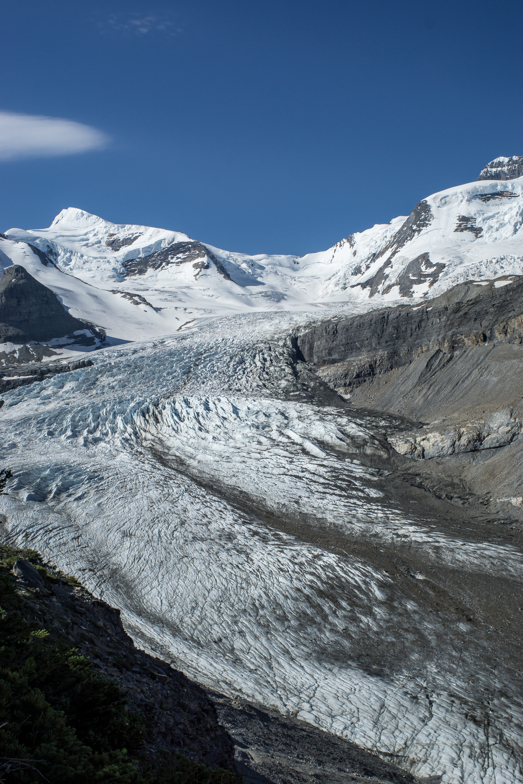
Berg Lake trail. Wow, possibly one of the most scenic trails I’ve done. For 20km / 12.5mi each way the trail has it all: forest, lakes, mountains, glaciers and views.

berglake-08640.jpg
berglake-08576.jpg

Day 1 we get an early start heading to the Robson Pass campground, the furthest from the trailhead at 20km / 12.5mi. The hike up begins along the brooding Robson river through thick forest with glimpses of waterfall tumbling off the cliffs above. After 11km / 7mi the trail ascends steeply past Emperor Falls and pops out on Berg Lake and superb alpine views.

berglake-08531.jpg
berglake-08597.jpg

Day 2 is spent exploring the meadows around Snowbird Pass and taking in the views of the permanent snow field at the pass. The trail is easy to follow and winds around Mt Robson at the start and then to the pass. It starts to get steep closer to the pass but it’s 100% worth going all the way to the end to get the views of the snowfield.

berglake-08743.jpg
berglake-190.jpg

Getting back to camp I realize my shoes have a chunk missing out of them. I try my hand at fixing them with some super glue and a piece of our pot-scraper, aka Walgreens rewards card. We’ll see how long it lasts.

berglake-08662.jpg

Day 3 we hike via Toboggan Falls and the Hargreaves Glacier before heading back down the trail to Kinney Lake. It’s windy and we don’t spend a lot of time at the top. At the lake a kaleidoscope of butterflies (yes, that’s the real collective noun!) watches us make dinner in the sun.

berglake-08753.jpg
berglake-08567.jpg

Day 4 is a short, 6.5 km / 4 mi, walk back through the forest to the trailhead. Today is considerably more smokey than the past 3 days. Looks like we got the timing right for the views. Back to Jasper, a great little town much more chill and down to earth than Banff.

If you go

GDT Update

The sky at noon

The sky at noon

After a couple days in Banff we have a plan.

  1. We somehow got permits on the Berg Lake Trail (Mt. Robson area). This isn’t officially on the GDT (it’s a side route) but we really wanted to do this trail and it wasn’t in the original plan. One good thing that came out of the fires I guess.

  2. We also were able to get permits on the Skyline Trail, a highlight of the GDT, shortly after.

  3. We also have permits for section C of the GDT in Banff National Park after the Skyline section. Hopefully the fires will pass by then.

Right now that’s about 10ish days backpacking with a few days in between each. In thru hiker lingo I’m not sure what to call this. I guess maybe erratic section hiking?